Waltershäuser Straße, Gotha nach Waltershäuser Straße, Gotha
- 48.7 km
- 384 m
- 382 m
- Gotha, Thuringia, Germany
A cycling route starting in Gotha, Thuringia, Germany.
Overview
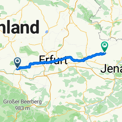
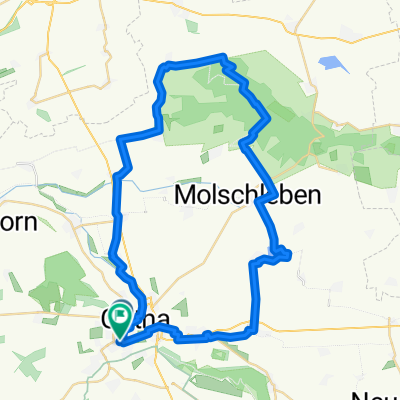
Our cycling tour 2023. This time it was again a combination of different long-distance cycling routes. Particularly the section around Chemnitz is quite demanding, as it is very hilly.
created this 2 years ago
Route quality
Quiet road
190.3 km
(25 %)
Path
144.6 km
(19 %)
Paved
609 km
(80 %)
Unpaved
68.5 km
(9 %)
Asphalt
593.7 km
(78 %)
Gravel
38.1 km
(5 %)
Continue with Bikemap
You would like to ride Radtour_2023_final - Radtour_2023_final or customize it for your own trip? Here is what you can do with this Bikemap route:
Free trial for 3 days, or one-time payment. More about Bikemap Premium.
Discover more Premium features.
Get Bikemap PremiumFrom our community
Open it in the app