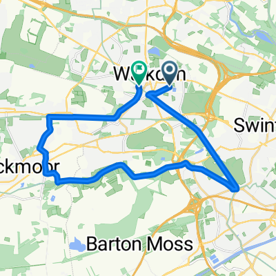
25 Crossfield Dr, Manchester to 322 Ordsall Lane, Salford
- 10.9 km
- 32 m
- 60 m
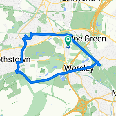
- Walkden, England, United Kingdom
A cycling route starting in Walkden, England, United Kingdom.
Overview
created this 2 years ago
Route quality
Cycleway
24.9 km
(61 %)
Road
5.7 km
(14 %)
Paved
24 km
(59 %)
Unpaved
13 km
(32 %)
Asphalt
14.3 km
(35 %)
Gravel
11.8 km
(29 %)
Continue with Bikemap
You would like to ride Bridgewater canal or customize it for your own trip? Here is what you can do with this Bikemap route:
Free trial for 3 days, or one-time payment. More about Bikemap Premium.
Discover more Premium features.
Get Bikemap PremiumFrom our community
Open it in the app