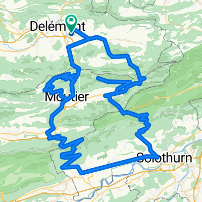
Les Montagnes de Moutier
A cycling route starting in Courroux, Canton of Jura, Switzerland.
Overview
About this route
- -:--
- Duration
- 125.7 km
- Distance
- 3,108 m
- Ascent
- 3,108 m
- Descent
- ---
- Avg. speed
- ---
- Avg. speed
Route quality
Waytypes & surfaces along the route
Waytypes
Quiet road
40 km
(32 %)
Road
37.3 km
(30 %)
Surfaces
Paved
58.5 km
(47 %)
Unpaved
2.9 km
(2 %)
Asphalt
58.5 km
(47 %)
Ground
1.1 km
(<1 %)
Continue with Bikemap
Use, edit, or download this cycling route
You would like to ride Les Montagnes de Moutier or customize it for your own trip? Here is what you can do with this Bikemap route:
Free features
- Save this route as favorite or in collections
- Copy & plan your own version of this route
- Sync your route with Garmin or Wahoo
Premium features
Free trial for 3 days, or one-time payment. More about Bikemap Premium.
- Navigate this route on iOS & Android
- Export a GPX / KML file of this route
- Create your custom printout (try it for free)
- Download this route for offline navigation
Discover more Premium features.
Get Bikemap PremiumFrom our community
Other popular routes starting in Courroux
- Parque Natural de Thal
- Distance
- 104.3 km
- Ascent
- 2,021 m
- Descent
- 2,022 m
- Location
- Courroux, Canton of Jura, Switzerland
- Delémont - Bienne
- Distance
- 61.3 km
- Ascent
- 1,151 m
- Descent
- 1,135 m
- Location
- Courroux, Canton of Jura, Switzerland
- Lötschberg–Jura - Étape 3
- Distance
- 26.7 km
- Ascent
- 638 m
- Descent
- 347 m
- Location
- Courroux, Canton of Jura, Switzerland
- Les Montagnes de Moutier
- Distance
- 125.7 km
- Ascent
- 3,108 m
- Descent
- 3,108 m
- Location
- Courroux, Canton of Jura, Switzerland
- Delemont-Vermes-Moutier-Bassecourt-Bellelay-Delemont
- Distance
- 85.5 km
- Ascent
- 934 m
- Descent
- 932 m
- Location
- Courroux, Canton of Jura, Switzerland
- Delemont Neuchatel
- Distance
- 331.2 km
- Ascent
- 2,973 m
- Descent
- 2,893 m
- Location
- Courroux, Canton of Jura, Switzerland
- [VTT] JS LCP
- Distance
- 45.5 km
- Ascent
- 1,194 m
- Descent
- 1,193 m
- Location
- Courroux, Canton of Jura, Switzerland
- Boucle Haut-Plateau Valée de Delémont et Val terbi
- Distance
- 94.6 km
- Ascent
- 1,298 m
- Descent
- 1,297 m
- Location
- Courroux, Canton of Jura, Switzerland