Eröffnungstour HARZ 2013
- 39.1 km
- 790 m
- 793 m
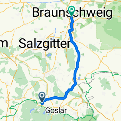
- Langelsheim, Lower Saxony, Germany
A cycling route starting in Langelsheim, Lower Saxony, Germany.
Overview
Harz Opening Tour 2013
Connects the Innerstetalsperre reservoir with the towns of Lautenthal and Wildemann. Outbound along the Lautenthaler Kunstgraben. Return along the Innerste river on a beautiful singletrail. There is a car parking lot at the start and finish at the dam wall. Refreshment options in Lautenthal and Wildemanncreated this 14 years ago
Route quality
Track
21.9 km
(56 %)
Path
11.7 km
(30 %)
Paved
8.6 km
(22 %)
Unpaved
24.6 km
(63 %)
Gravel
14.9 km
(38 %)
Asphalt
8.6 km
(22 %)
Route highlights

Ausblick aud Lautenthal. Pausenbänke. Beginn des Lauthenthaler Kunstgrabens in Richtung Wildemann
Continue with Bikemap
You would like to ride Eröffnungstour HARZ 2013 or customize it for your own trip? Here is what you can do with this Bikemap route:
Free trial for 3 days, or one-time payment. More about Bikemap Premium.
Discover more Premium features.
Get Bikemap PremiumFrom our community
Open it in the app