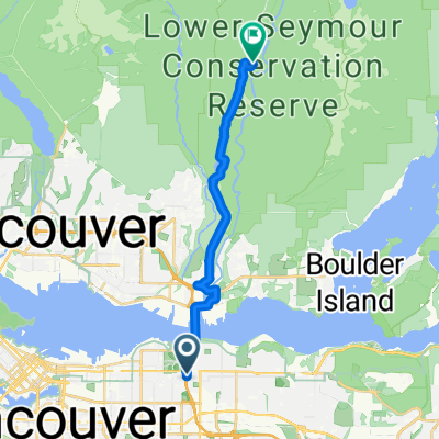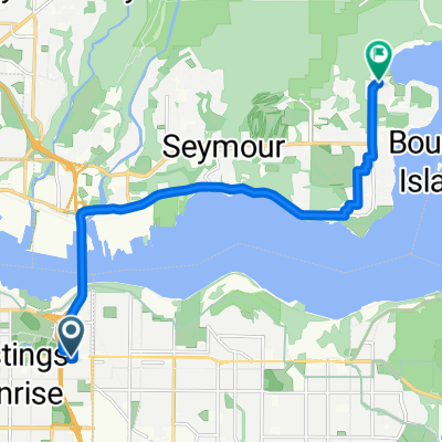
E Hastings St, Vancouver to Gallant Ave, North Vancouver
- 11.4 km
- 160 m
- 182 m
- North Vancouver, British Columbia, Canada
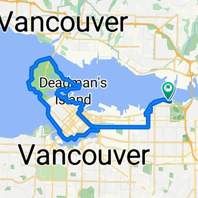
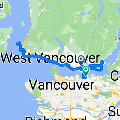
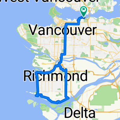
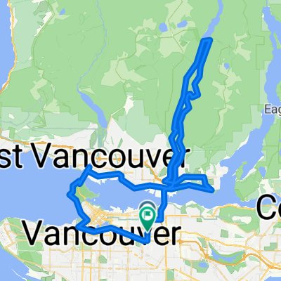
A cycling route starting in North Vancouver, British Columbia, Canada.
Overview
created this 14 years ago
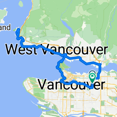
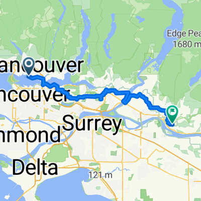
Route highlights
Continue with Bikemap
You would like to ride van-mtl---25030m or customize it for your own trip? Here is what you can do with this Bikemap route:
Free trial for 3 days, or one-time payment. More about Bikemap Premium.
Discover more Premium features.
Get Bikemap PremiumFrom our community
Open it in the app