


Lokeren - Tessenderlo
- 93.7 km
- 222 m
- 187 m
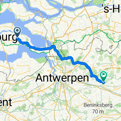
- Goes, Zeeland, The Netherlands
A cycling route starting in Goes, Zeeland, The Netherlands.
Overview
created this 2 years ago
Route quality
Quiet road
125 km
(42 %)
Cycleway
95.3 km
(32 %)
Paved
145.9 km
(49 %)
Unpaved
6 km
(2 %)
Asphalt
139.9 km
(47 %)
Concrete
6 km
(2 %)
Route highlights
60 km
140 km
90 km
Continue with Bikemap
You would like to ride Rondje Hemelvaart 2023 or customize it for your own trip? Here is what you can do with this Bikemap route:
Free trial for 3 days, or one-time payment. More about Bikemap Premium.
Discover more Premium features.
Get Bikemap PremiumFrom our community
Open it in the app


