

Pear Street 641, Pueblo to Pear Street 641, Pueblo
A cycling route starting in Pueblo, Colorado, United States.
Overview
About this route
- 1 h 4 min
- Duration
- 18.2 km
- Distance
- 73 m
- Ascent
- 52 m
- Descent
- 17.2 km/h
- Avg. speed
- 1,475 m
- Max. altitude

Continue with Bikemap
Use, edit, or download this cycling route
You would like to ride Pear Street 641, Pueblo to Pear Street 641, Pueblo or customize it for your own trip? Here is what you can do with this Bikemap route:
Free features
- Save this route as favorite or in collections
- Copy & plan your own version of this route
- Sync your route with Garmin or Wahoo
Premium features
Free trial for 3 days, or one-time payment. More about Bikemap Premium.
- Navigate this route on iOS & Android
- Export a GPX / KML file of this route
- Create your custom printout (try it for free)
- Download this route for offline navigation
Discover more Premium features.
Get Bikemap PremiumFrom our community
Other popular routes starting in Pueblo
 PHASE LINE - Alexandar
- Distance
- 467 km
- Ascent
- 181 m
- Descent
- 977 m
- Location
- Pueblo, Colorado, United States
 Pear Street 641, Pueblo to South Pueblo Boulevard 609
- Distance
- 1.3 km
- Ascent
- 26 m
- Descent
- 0 m
- Location
- Pueblo, Colorado, United States
 Pear Street 641, Pueblo to Pear Street 641, Pueblo
- Distance
- 20.7 km
- Ascent
- 105 m
- Descent
- 81 m
- Location
- Pueblo, Colorado, United States
 Cornell Circle 89, Pueblo to Cornell Circle 89, Pueblo
- Distance
- 5.3 km
- Ascent
- 4 m
- Descent
- 4 m
- Location
- Pueblo, Colorado, United States
 Pear Street 641, Pueblo to Pear Street 641, Pueblo
- Distance
- 18.2 km
- Ascent
- 73 m
- Descent
- 52 m
- Location
- Pueblo, Colorado, United States
 111 N Union Ave, Pueblo to Mathews St, Yorktown
- Distance
- 3,368.5 km
- Ascent
- 35,014 m
- Descent
- 36,422 m
- Location
- Pueblo, Colorado, United States
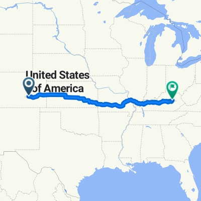 test kansas
- Distance
- 2,320.3 km
- Ascent
- 869 m
- Descent
- 2,114 m
- Location
- Pueblo, Colorado, United States
 Rush Street 413, Pueblo to Dowling Avenue Southeast 201-413, Live Oak
- Distance
- 2,743.3 km
- Ascent
- 11,911 m
- Descent
- 13,302 m
- Location
- Pueblo, Colorado, United States
Open it in the app