

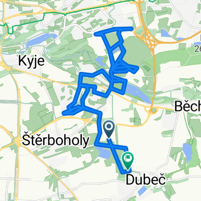
Konojedy, Hradec, Černé Voděrady
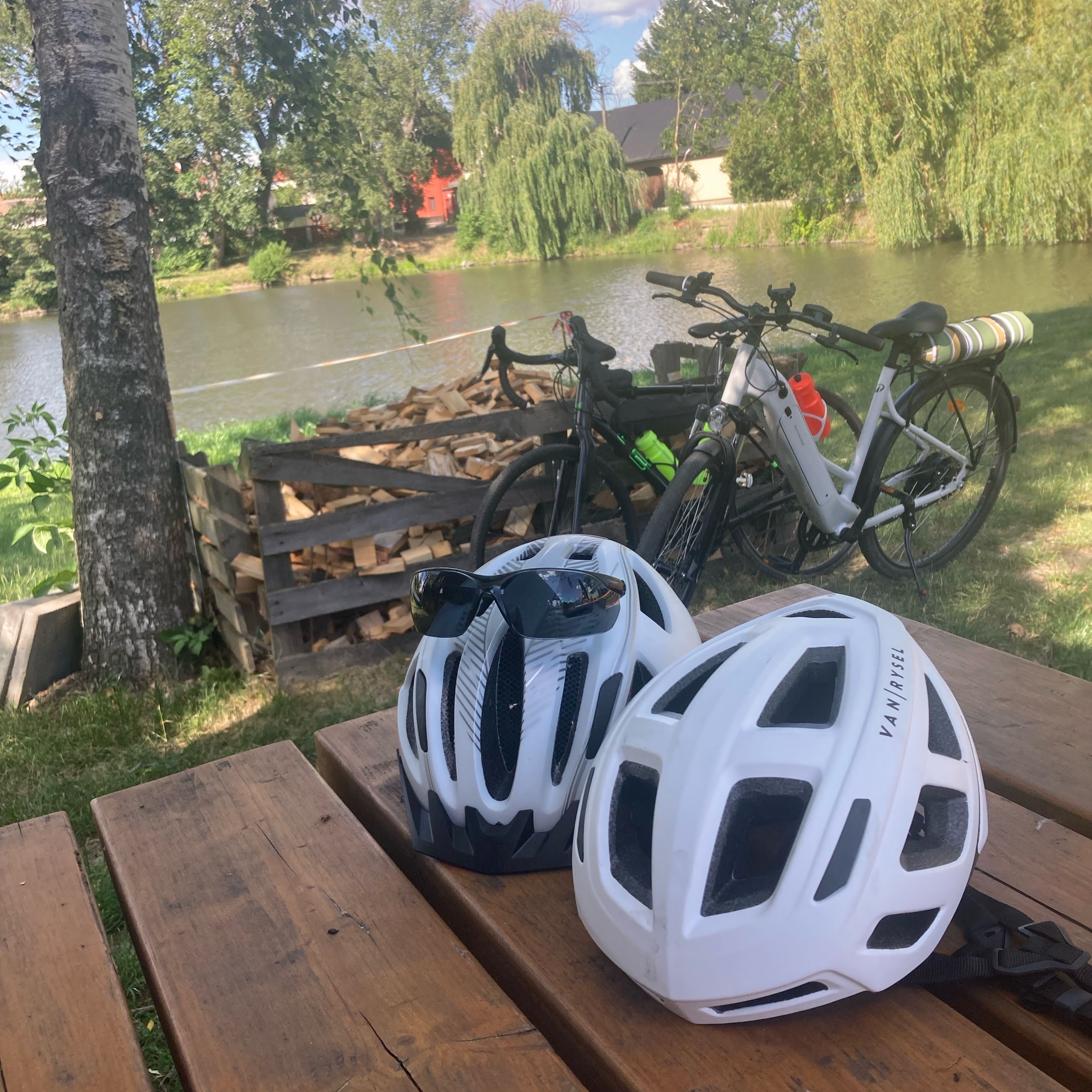
A cycling route starting in Dolní Počernice, Prague, Czechia.
Overview
About this route
The more information you write here, the more useful it will be for other users.* Route progression.* What is special about this route?* Why recommend this route?* What did you like most here?* etc.
- -:--
- Duration
- 60.8 km
- Distance
- 500 m
- Ascent
- 486 m
- Descent
- ---
- Avg. speed
- ---
- Max. altitude
Route quality
Waytypes & surfaces along the route
Waytypes
Road
37.7 km
(62 %)
Quiet road
6.7 km
(11 %)
Surfaces
Paved
13.4 km
(22 %)
Unpaved
0.6 km
(1 %)
Asphalt
13.4 km
(22 %)
Unpaved (undefined)
0.6 km
(1 %)
Undefined
46.8 km
(77 %)
Continue with Bikemap
Use, edit, or download this cycling route
You would like to ride Konojedy, Hradec, Černé Voděrady or customize it for your own trip? Here is what you can do with this Bikemap route:
Free features
- Save this route as favorite or in collections
- Copy & plan your own version of this route
- Sync your route with Garmin or Wahoo
Premium features
Free trial for 3 days, or one-time payment. More about Bikemap Premium.
- Navigate this route on iOS & Android
- Export a GPX / KML file of this route
- Create your custom printout (try it for free)
- Download this route for offline navigation
Discover more Premium features.
Get Bikemap PremiumFrom our community
Other popular routes starting in Dolní Počernice
 Lomnická, Prague 14 to Nová Ves, Nová Ves
- Distance
- 19.7 km
- Ascent
- 128 m
- Descent
- 173 m
- Location
- Dolní Počernice, Prague, Czechia
 Mezi potoky, Praha 15 do Mezi potoky, Praha 15
- Distance
- 34.3 km
- Ascent
- 275 m
- Descent
- 273 m
- Location
- Dolní Počernice, Prague, Czechia
 Praha - Kostelec nad Černými lesy - Brník - Praha
- Distance
- 66 km
- Ascent
- 485 m
- Descent
- 485 m
- Location
- Dolní Počernice, Prague, Czechia
 Easy ride in Prague
- Distance
- 20.5 km
- Ascent
- 124 m
- Descent
- 87 m
- Location
- Dolní Počernice, Prague, Czechia
 Slatiny do Slatiny
- Distance
- 29.3 km
- Ascent
- 114 m
- Descent
- 164 m
- Location
- Dolní Počernice, Prague, Czechia
 SO21.3.09
- Distance
- 96.4 km
- Ascent
- 1,390 m
- Descent
- 1,352 m
- Location
- Dolní Počernice, Prague, Czechia
 Vidlák-Modřany-Václavák
- Distance
- 36.9 km
- Ascent
- 186 m
- Descent
- 220 m
- Location
- Dolní Počernice, Prague, Czechia
 Vidlák-Čelákovice-Lhota-Kostelec-Brandys-Zapy-Zelenec-Vidlák
- Distance
- 76.9 km
- Ascent
- 218 m
- Descent
- 223 m
- Location
- Dolní Počernice, Prague, Czechia
Open it in the app