

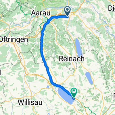
Hallwilersee Rundfahrt
A cycling route starting in Staufen, Canton of Aargau, Switzerland.
Overview
About this route
- -:--
- Duration
- 43 km
- Distance
- 436 m
- Ascent
- 435 m
- Descent
- ---
- Avg. speed
- 563 m
- Max. altitude
Route quality
Waytypes & surfaces along the route
Waytypes
Quiet road
16.3 km
(38 %)
Track
10.7 km
(25 %)
Surfaces
Paved
31.8 km
(74 %)
Unpaved
9 km
(21 %)
Asphalt
31.4 km
(73 %)
Gravel
7.7 km
(18 %)
Continue with Bikemap
Use, edit, or download this cycling route
You would like to ride Hallwilersee Rundfahrt or customize it for your own trip? Here is what you can do with this Bikemap route:
Free features
- Save this route as favorite or in collections
- Copy & plan your own version of this route
- Sync your route with Garmin or Wahoo
Premium features
Free trial for 3 days, or one-time payment. More about Bikemap Premium.
- Navigate this route on iOS & Android
- Export a GPX / KML file of this route
- Create your custom printout (try it for free)
- Download this route for offline navigation
Discover more Premium features.
Get Bikemap PremiumFrom our community
Other popular routes starting in Staufen
 Von Staufen bis Sempach
- Distance
- 42.1 km
- Ascent
- 330 m
- Descent
- 236 m
- Location
- Staufen, Canton of Aargau, Switzerland
 vianco arena
- Distance
- 8.6 km
- Ascent
- 121 m
- Descent
- 125 m
- Location
- Staufen, Canton of Aargau, Switzerland
 Langsame Fahrt in Lenzburg
- Distance
- 4.4 km
- Ascent
- 149 m
- Descent
- 152 m
- Location
- Staufen, Canton of Aargau, Switzerland
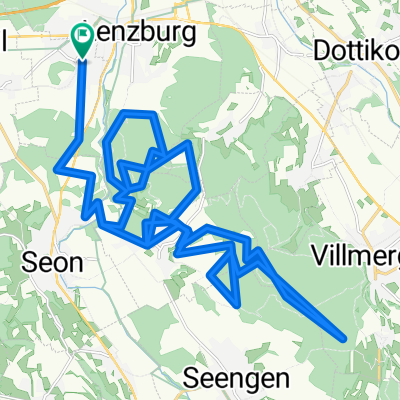
 Lenzburg_Othmarsingen_Chestenberg_Wildegg_Lenzburg
- Distance
- 26.6 km
- Ascent
- 288 m
- Descent
- 291 m
- Location
- Staufen, Canton of Aargau, Switzerland
 20151119_095402.gpx
- Distance
- 43.5 km
- Ascent
- 737 m
- Descent
- 737 m
- Location
- Staufen, Canton of Aargau, Switzerland
 Esterlirunde
- Distance
- 7.3 km
- Ascent
- 172 m
- Descent
- 150 m
- Location
- Staufen, Canton of Aargau, Switzerland
 20150506_110914.gpx
- Distance
- 43.6 km
- Ascent
- 653 m
- Descent
- 655 m
- Location
- Staufen, Canton of Aargau, Switzerland
 20150123_100245.gpx
- Distance
- 36.7 km
- Ascent
- 543 m
- Descent
- 543 m
- Location
- Staufen, Canton of Aargau, Switzerland
Open it in the app