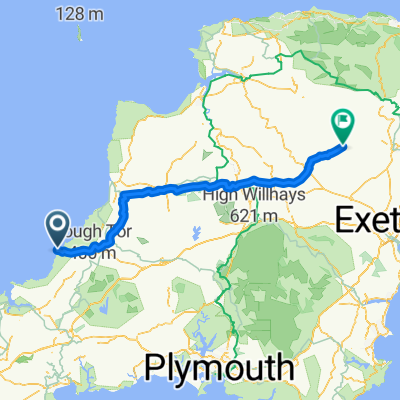
Tintagel - Bude
A cycling route starting in Tintagel, England, United Kingdom.
Overview
About this route
23.7.2011
- -:--
- Duration
- 31.8 km
- Distance
- 578 m
- Ascent
- 663 m
- Descent
- ---
- Avg. speed
- ---
- Avg. speed
Route quality
Waytypes & surfaces along the route
Waytypes
Road
11.9 km
(38 %)
Busy road
11.6 km
(36 %)
Surfaces
Paved
30.3 km
(95 %)
Unpaved
1 km
(3 %)
Asphalt
29.7 km
(93 %)
Paved (undefined)
0.6 km
(2 %)
Route highlights
Points of interest along the route
Point of interest after 6.8 km
Muteum čarodějnic
Point of interest after 17.2 km
Koupání 1
Point of interest after 27 km
Koupání
Continue with Bikemap
Use, edit, or download this cycling route
You would like to ride Tintagel - Bude or customize it for your own trip? Here is what you can do with this Bikemap route:
Free features
- Save this route as favorite or in collections
- Copy & plan your own version of this route
- Sync your route with Garmin or Wahoo
Premium features
Free trial for 3 days, or one-time payment. More about Bikemap Premium.
- Navigate this route on iOS & Android
- Export a GPX / KML file of this route
- Create your custom printout (try it for free)
- Download this route for offline navigation
Discover more Premium features.
Get Bikemap PremiumFrom our community
Other popular routes starting in Tintagel
- Holiday ride
- Distance
- 23.8 km
- Ascent
- 536 m
- Descent
- 535 m
- Location
- Tintagel, England, United Kingdom
- leJog stage 2 Boscastle to Stogumber
- Distance
- 133.2 km
- Ascent
- 1,441 m
- Descent
- 1,409 m
- Location
- Tintagel, England, United Kingdom
- 21C-22A [43-260] Tintagel-Blisland-Padstow
- Distance
- 43.3 km
- Ascent
- 207 m
- Descent
- 295 m
- Location
- Tintagel, England, United Kingdom
- Snail-like route in Tintagel
- Distance
- 1.2 km
- Ascent
- 28 m
- Descent
- 33 m
- Location
- Tintagel, England, United Kingdom
- LEJO'G 03 Tintagel to Appledore
- Distance
- 98.5 km
- Ascent
- 1,436 m
- Descent
- 1,449 m
- Location
- Tintagel, England, United Kingdom
- J-32: Tintagel - Newquay, méchant vent de face
- Distance
- 60.5 km
- Ascent
- 496 m
- Descent
- 552 m
- Location
- Tintagel, England, United Kingdom
- Cornwall navigation
- Distance
- 2.2 km
- Ascent
- 99 m
- Descent
- 16 m
- Location
- Tintagel, England, United Kingdom
- Tintagel to Woodacote
- Distance
- 50.1 km
- Ascent
- 704 m
- Descent
- 629 m
- Location
- Tintagel, England, United Kingdom
Open it in the app