
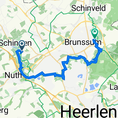
Via Valkenburg,Bemelen,Margraten,Ingber,Schin op Geul, Klimmen naar Schinnen
A cycling route starting in Schinnen, Limburg, The Netherlands.
Overview
About this route
Mooie route door het magische Limburgse land.
- -:--
- Duration
- 55.3 km
- Distance
- 459 m
- Ascent
- 433 m
- Descent
- ---
- Avg. speed
- 177 m
- Max. altitude

Route quality
Waytypes & surfaces along the route
Waytypes
Quiet road
24.9 km
(45 %)
Track
16 km
(29 %)
Surfaces
Paved
19.3 km
(35 %)
Unpaved
17.1 km
(31 %)
Asphalt
18.8 km
(34 %)
Gravel
9.4 km
(17 %)
Route highlights
Points of interest along the route
Point of interest after 26.5 km
koffie bij Josefien in Margraten
Point of interest after 27.3 km
Continue with Bikemap
Use, edit, or download this cycling route
You would like to ride Via Valkenburg,Bemelen,Margraten,Ingber,Schin op Geul, Klimmen naar Schinnen or customize it for your own trip? Here is what you can do with this Bikemap route:
Free features
- Save this route as favorite or in collections
- Copy & plan your own version of this route
- Sync your route with Garmin or Wahoo
Premium features
Free trial for 3 days, or one-time payment. More about Bikemap Premium.
- Navigate this route on iOS & Android
- Export a GPX / KML file of this route
- Create your custom printout (try it for free)
- Download this route for offline navigation
Discover more Premium features.
Get Bikemap PremiumFrom our community
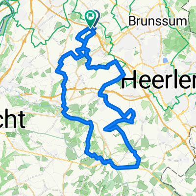
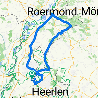
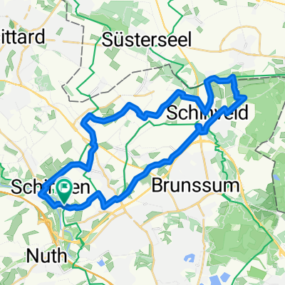
Other popular routes starting in Schinnen
 BJHRC sept 12 2020
- Distance
- 47.1 km
- Ascent
- 471 m
- Descent
- 434 m
- Location
- Schinnen, Limburg, The Netherlands
 Mulderpad, Schinnen naar Kleine Hulst 23, Maasmechelen
- Distance
- 23.8 km
- Ascent
- 162 m
- Descent
- 190 m
- Location
- Schinnen, Limburg, The Netherlands
 Naar de American Cementery Margraten
- Distance
- 57.8 km
- Ascent
- 466 m
- Descent
- 443 m
- Location
- Schinnen, Limburg, The Netherlands
 285. De beekdaelenroute: In het spoor van de rode beek - etappe 1
- Distance
- 15.6 km
- Ascent
- 192 m
- Descent
- 164 m
- Location
- Schinnen, Limburg, The Netherlands
 Via Valkenburg,Bemelen,Margraten,Ingber,Schin op Geul, Klimmen naar Schinnen
- Distance
- 55.3 km
- Ascent
- 459 m
- Descent
- 433 m
- Location
- Schinnen, Limburg, The Netherlands
 nagelbeek valkenburg nagelbeek
- Distance
- 58.8 km
- Ascent
- 508 m
- Descent
- 505 m
- Location
- Schinnen, Limburg, The Netherlands
 Rondje Koningsbosch Jo
- Distance
- 94.9 km
- Ascent
- 174 m
- Descent
- 180 m
- Location
- Schinnen, Limburg, The Netherlands
 28Km Trek Limburg
- Distance
- 27.6 km
- Ascent
- 134 m
- Descent
- 134 m
- Location
- Schinnen, Limburg, The Netherlands
Open it in the app