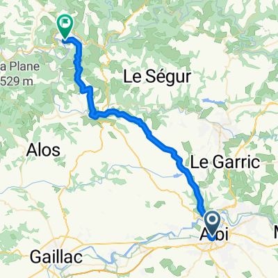
Albi - Le Rozier
A cycling route starting in Albi, Languedoc-Roussillon-Midi-Pyrénées, France.
Overview
About this route
Start: Albi
mit Ăbernachtung in Le Truel Camping Municipal
Ziel: Le Rozier Camping Municipal
- -:--
- Duration
- 128.5 km
- Distance
- 789 m
- Ascent
- 562 m
- Descent
- ---
- Avg. speed
- ---
- Avg. speed
Continue with Bikemap
Use, edit, or download this cycling route
You would like to ride Albi - Le Rozier or customize it for your own trip? Here is what you can do with this Bikemap route:
Free features
- Save this route as favorite or in collections
- Copy & plan your own version of this route
- Sync your route with Garmin or Wahoo
Premium features
Free trial for 3 days, or one-time payment. More about Bikemap Premium.
- Navigate this route on iOS & Android
- Export a GPX / KML file of this route
- Create your custom printout (try it for free)
- Download this route for offline navigation
Discover more Premium features.
Get Bikemap PremiumFrom our community
Other popular routes starting in Albi
- 2016 Ride Day 134 - Albi to Millau
- Distance
- 111.8 km
- Ascent
- 921 m
- Descent
- 662 m
- Location
- Albi, Languedoc-Roussillon-Midi-Pyrénées, France
- Albi - Circle to the Southeast
- Distance
- 52.3 km
- Ascent
- 632 m
- Descent
- 634 m
- Location
- Albi, Languedoc-Roussillon-Midi-Pyrénées, France
- 2019-10 Albi to Millau
- Distance
- 105.9 km
- Ascent
- 1,104 m
- Descent
- 632 m
- Location
- Albi, Languedoc-Roussillon-Midi-Pyrénées, France
- 2016 Ride Day 167 - Albi to Villefranche-de-Rouergue
- Distance
- 73.2 km
- Ascent
- 1,001 m
- Descent
- 895 m
- Location
- Albi, Languedoc-Roussillon-Midi-Pyrénées, France
- 2012 French Tour -- Ride Day 59 -- 25 October 2012 -- Albi -- Circle
- Distance
- 54.3 km
- Ascent
- 622 m
- Descent
- 622 m
- Location
- Albi, Languedoc-Roussillon-Midi-Pyrénées, France
- Albi to Bor et Bar
- Distance
- 41.8 km
- Ascent
- 544 m
- Descent
- 528 m
- Location
- Albi, Languedoc-Roussillon-Midi-Pyrénées, France
- **17-X. Albi - Saint Flour (197,5 Km)
- Distance
- 197.3 km
- Ascent
- 3,336 m
- Descent
- 2,707 m
- Location
- Albi, Languedoc-Roussillon-Midi-Pyrénées, France
- Albi - Circle to the Southwest and West
- Distance
- 47.3 km
- Ascent
- 409 m
- Descent
- 406 m
- Location
- Albi, Languedoc-Roussillon-Midi-Pyrénées, France
Open it in the app