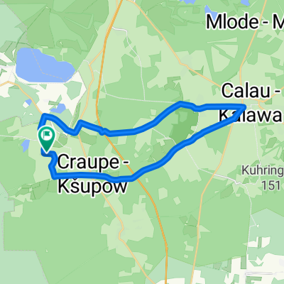
Bornsdorf > Grünewalder Lauch
- 41.4 km
- 227 m
- 197 m
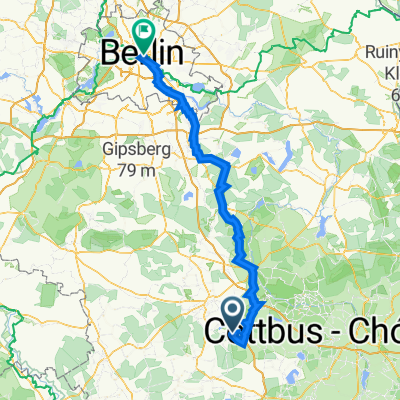
- Crinitz, Brandenburg, Germany
A cycling route starting in Crinitz, Brandenburg, Germany.
Overview
created this 2 years ago
Route quality
Quiet road
18.3 km
(41 %)
Road
10.3 km
(23 %)
Paved
35.3 km
(79 %)
Asphalt
32.2 km
(72 %)
Paved (undefined)
3.1 km
(7 %)
Undefined
9.4 km
(21 %)
Continue with Bikemap
You would like to ride Draschemühle > Rietzneuendorf or customize it for your own trip? Here is what you can do with this Bikemap route:
Free trial for 3 days, or one-time payment. More about Bikemap Premium.
Discover more Premium features.
Get Bikemap PremiumFrom our community
Open it in the app