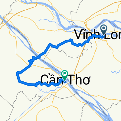
Vhin Long - Phong Dien
A cycling route starting in Vĩnh Long, Vĩnh Long Province, Vietnam.
Overview
About this route
Â
- -:--
- Duration
- 52.8 km
- Distance
- 39 m
- Ascent
- 40 m
- Descent
- ---
- Avg. speed
- ---
- Max. altitude
Continue with Bikemap
Use, edit, or download this cycling route
You would like to ride Vhin Long - Phong Dien or customize it for your own trip? Here is what you can do with this Bikemap route:
Free features
- Save this route as favorite or in collections
- Copy & plan your own version of this route
- Sync your route with Garmin or Wahoo
Premium features
Free trial for 3 days, or one-time payment. More about Bikemap Premium.
- Navigate this route on iOS & Android
- Export a GPX / KML file of this route
- Create your custom printout (try it for free)
- Download this route for offline navigation
Discover more Premium features.
Get Bikemap PremiumFrom our community
Other popular routes starting in Vĩnh Long
113 Le Thai To, Vinh Long to 114 Le Thai To, Vinh Long- Distance
- 12.1 km
- Ascent
- 20 m
- Descent
- 16 m
- Location
- Vĩnh Long, Vĩnh Long Province, Vietnam
Vhin Long - Phong Dien- Distance
- 52.8 km
- Ascent
- 39 m
- Descent
- 40 m
- Location
- Vĩnh Long, Vĩnh Long Province, Vietnam
Vinh Long nach Forever Green Resort- Distance
- 37.8 km
- Ascent
- 0 m
- Descent
- 0 m
- Location
- Vĩnh Long, Vĩnh Long Province, Vietnam
Cái Bè (VL) - HCM- Distance
- 103.1 km
- Ascent
- 21 m
- Descent
- 16 m
- Location
- Vĩnh Long, Vĩnh Long Province, Vietnam
4 Mekong Delta Ben Tre- Distance
- 53.1 km
- Ascent
- 27 m
- Descent
- 26 m
- Location
- Vĩnh Long, Vĩnh Long Province, Vietnam
Vinh Long to HCM- Distance
- 135.9 km
- Ascent
- 26 m
- Descent
- 17 m
- Location
- Vĩnh Long, Vĩnh Long Province, Vietnam
Vinh Long to Can Tho- Distance
- 73.5 km
- Ascent
- 4 m
- Descent
- 0 m
- Location
- Vĩnh Long, Vĩnh Long Province, Vietnam
Vinh Long nach Ben Tre Mango Home- Distance
- 63.6 km
- Ascent
- 4 m
- Descent
- 4 m
- Location
- Vĩnh Long, Vĩnh Long Province, Vietnam
Open it in the app


