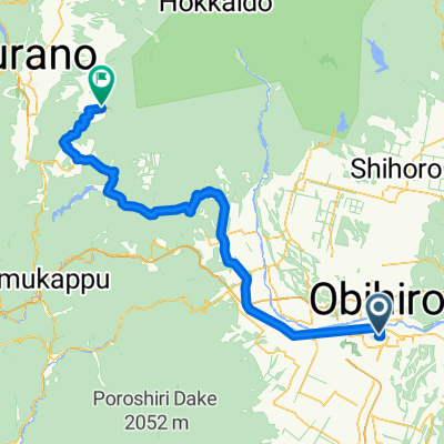
一般道道十勝川温泉帯広自転車道線(十勝大平原自転車道)
- 28 km
- 108 m
- 83 m
- Obihiro, Hokkaido, Japan
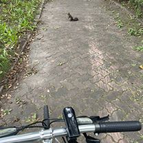
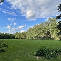
A cycling route starting in Obihiro, Hokkaido, Japan.
Overview
null
created this 2 years ago
Continue with Bikemap
You would like to ride トカプチ400 or customize it for your own trip? Here is what you can do with this Bikemap route:
Free trial for 3 days, or one-time payment. More about Bikemap Premium.
Discover more Premium features.
Get Bikemap PremiumFrom our community
Open it in the app