

Neuseeland - Etappe 3 - Hahei nach Whangamata
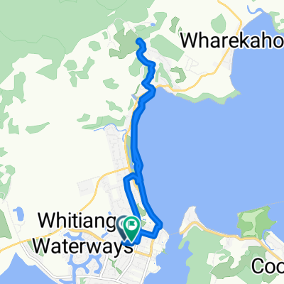
A cycling route starting in Whitianga, Waikato Region, New Zealand.
Overview
About this route
Bad BBH hostel in Whangamata, but the choice of campsites also leaves much to be desired ;)
- -:--
- Duration
- 62.2 km
- Distance
- 618 m
- Ascent
- 617 m
- Descent
- ---
- Avg. speed
- ---
- Max. altitude
ronelld.regen

created this 14 years ago
Continue with Bikemap
Use, edit, or download this cycling route
You would like to ride Neuseeland - Etappe 3 - Hahei nach Whangamata or customize it for your own trip? Here is what you can do with this Bikemap route:
Free features
- Save this route as favorite or in collections
- Copy & plan your own version of this route
- Sync your route with Garmin or Wahoo
Premium features
Free trial for 3 days, or one-time payment. More about Bikemap Premium.
- Navigate this route on iOS & Android
- Export a GPX / KML file of this route
- Create your custom printout (try it for free)
- Download this route for offline navigation
Discover more Premium features.
Get Bikemap PremiumFrom our community
Other popular routes starting in Whitianga
- Day 4 - Whitianga to Coroglen (Via Hahei)
- 35.9 km
- 507 m
- 466 m
- Whitianga, Waikato Region, New Zealand
- Endeavour Cl, Whitianga to Endeavour Cl, Whitianga
- 11.3 km
- 214 m
- 223 m
- Whitianga, Waikato Region, New Zealand
- Whitianga - Whitianga
- 13.4 km
- 45 m
- 38 m
- Whitianga, Waikato Region, New Zealand
- Hot Water Beach
- 7.4 km
- 157 m
- 157 m
- Whitianga, Waikato Region, New Zealand
- 398I Lees Road, Hahei to 398I Lees Road, Hahei
- 30.8 km
- 931 m
- 929 m
- Whitianga, Waikato Region, New Zealand
- NZ 2011 d32
- 42.7 km
- 724 m
- 721 m
- Whitianga, Waikato Region, New Zealand
- Skakeseare Cliff
- 27.7 km
- 340 m
- 340 m
- Whitianga, Waikato Region, New Zealand


Open it in the app