

Tannen - Stub Loßburg, Großvatertanne, Zwieselberg, Kaltbrunn, Schenkenzell
A cycling route starting in Loßburg, Baden-Wurttemberg, Germany.
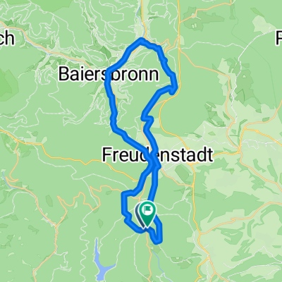
Overview
About this route
- 3 h 31 min
- Duration
- 33.8 km
- Distance
- 231 m
- Ascent
- 731 m
- Descent
- 9.6 km/h
- Avg. speed
- 861 m
- Max. altitude

Route photos


Route quality
Waytypes & surfaces along the route
Waytypes
Track
22.3 km
(66 %)
Road
5.1 km
(15 %)
Surfaces
Paved
5.7 km
(17 %)
Unpaved
21.6 km
(64 %)
Gravel
21.6 km
(64 %)
Asphalt
5.1 km
(15 %)
Continue with Bikemap
Use, edit, or download this cycling route
You would like to ride Tannen - Stub Loßburg, Großvatertanne, Zwieselberg, Kaltbrunn, Schenkenzell or customize it for your own trip? Here is what you can do with this Bikemap route:
Free features
- Save this route as favorite or in collections
- Copy & plan your own version of this route
- Sync your route with Garmin or Wahoo
Premium features
Free trial for 3 days, or one-time payment. More about Bikemap Premium.
- Navigate this route on iOS & Android
- Export a GPX / KML file of this route
- Create your custom printout (try it for free)
- Download this route for offline navigation
Discover more Premium features.
Get Bikemap PremiumFrom our community
Other popular routes starting in Loßburg
 Loßburg - Freiburg
- Distance
- 93.3 km
- Ascent
- 598 m
- Descent
- 1,034 m
- Location
- Loßburg, Baden-Wurttemberg, Germany
 Tannen - Stub Loßburg, Großvatertanne, Zwieselberg, Kaltbrunn, Schenkenzell
- Distance
- 33.8 km
- Ascent
- 231 m
- Descent
- 731 m
- Location
- Loßburg, Baden-Wurttemberg, Germany
 E-Bike Tour 4: Von Lossburg rund um den Stausee "Kleine Kinzig"
- Distance
- 29.9 km
- Ascent
- 807 m
- Descent
- 806 m
- Location
- Loßburg, Baden-Wurttemberg, Germany
 RR-Schömberg-Calw-Tamm
- Distance
- 102.9 km
- Ascent
- 760 m
- Descent
- 1,235 m
- Location
- Loßburg, Baden-Wurttemberg, Germany
 Klosterreichenbach
- Distance
- 32.9 km
- Ascent
- 733 m
- Descent
- 731 m
- Location
- Loßburg, Baden-Wurttemberg, Germany
 MTB Loßbach 50 km, 1240 hm
- Distance
- 48 km
- Ascent
- 1,191 m
- Descent
- 1,196 m
- Location
- Loßburg, Baden-Wurttemberg, Germany
 Loßburgrunde
- Distance
- 74 km
- Ascent
- 723 m
- Descent
- 723 m
- Location
- Loßburg, Baden-Wurttemberg, Germany
 Lossburg - Lenzkirch
- Distance
- 97.3 km
- Ascent
- 914 m
- Descent
- 739 m
- Location
- Loßburg, Baden-Wurttemberg, Germany
Open it in the app