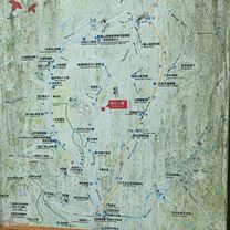
Home to stone door reservoir
- 42.3 km
- 501 m
- 357 m
- Taoyuan, Taiwan, Taiwan
A cycling route starting in Taoyuan, Taiwan, Taiwan.
Overview
created this 16 years ago
Route quality
Quiet road
5.9 km
(26 %)
Road
2.1 km
(9 %)
Paved
8 km
(35 %)
Asphalt
7.1 km
(31 %)
Paved (undefined)
0.9 km
(4 %)
Undefined
14.9 km
(65 %)
Route highlights
中原大學校門口
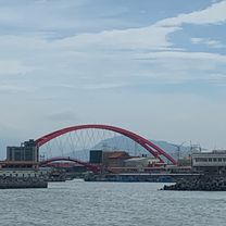
石門水庫壩頂
Continue with Bikemap
You would like to ride 中原大學→石門水庫攻壩頂 or customize it for your own trip? Here is what you can do with this Bikemap route:
Free trial for 3 days, or one-time payment. More about Bikemap Premium.
Discover more Premium features.
Get Bikemap PremiumFrom our community
Open it in the app