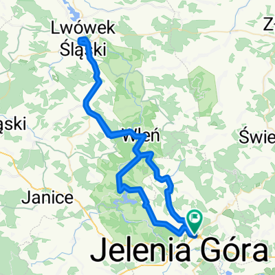
Pętla Jelenia Góra - Michałowice - Zachełmie - Przesieka - Borowice - Sosnówka - Staniszów
A cycling route starting in Jeżów Sudecki, Lower Silesian Voivodeship, Poland.
Overview
About this route
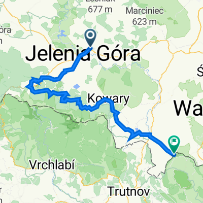
An interesting route that can serve as solid training before longer mountainous trips. Several strong climbs: Michałowice, Zachełmie, Borowice.
Beautiful landscapes reward the effort invested.
Interesting places on the route: Hauptmann's House in Jagniątków, Staniszów Palace, Water Palace in Staniszów.
- -:--
- Duration
- 62.8 km
- Distance
- 881 m
- Ascent
- 880 m
- Descent
- ---
- Avg. speed
- ---
- Max. altitude
Continue with Bikemap
Use, edit, or download this cycling route
You would like to ride Pętla Jelenia Góra - Michałowice - Zachełmie - Przesieka - Borowice - Sosnówka - Staniszów or customize it for your own trip? Here is what you can do with this Bikemap route:
Free features
- Save this route as favorite or in collections
- Copy & plan your own version of this route
- Sync your route with Garmin or Wahoo
Premium features
Free trial for 3 days, or one-time payment. More about Bikemap Premium.
- Navigate this route on iOS & Android
- Export a GPX / KML file of this route
- Create your custom printout (try it for free)
- Download this route for offline navigation
Discover more Premium features.
Get Bikemap PremiumFrom our community
Other popular routes starting in Jeżów Sudecki
- Siedlęcin - Perła Zachodu
- Distance
- 3.2 km
- Ascent
- 86 m
- Descent
- 86 m
- Location
- Jeżów Sudecki, Lower Silesian Voivodeship, Poland
- ER6 Czernica, Pilchowice, Wrzeszczyn
- Distance
- 36 km
- Ascent
- 407 m
- Descent
- 419 m
- Location
- Jeżów Sudecki, Lower Silesian Voivodeship, Poland
- Karkonosze i Góry Izerskie
- Distance
- 111.4 km
- Ascent
- 1,132 m
- Descent
- 1,062 m
- Location
- Jeżów Sudecki, Lower Silesian Voivodeship, Poland
- Dzień 3
- Distance
- 67.6 km
- Ascent
- 492 m
- Descent
- 368 m
- Location
- Jeżów Sudecki, Lower Silesian Voivodeship, Poland
- zabobrze podgórzyn borowice sosnówka staniszów obwodnica droga rowerowa krzyż meta
- Distance
- 44.4 km
- Ascent
- 465 m
- Descent
- 465 m
- Location
- Jeżów Sudecki, Lower Silesian Voivodeship, Poland
- Jelenia - Kopaniec - Rozdroże - Szklarska - Piechowice - JG
- Distance
- 75.6 km
- Ascent
- 837 m
- Descent
- 837 m
- Location
- Jeżów Sudecki, Lower Silesian Voivodeship, Poland
- Karkonosze
- Distance
- 93.4 km
- Ascent
- 1,671 m
- Descent
- 1,456 m
- Location
- Jeżów Sudecki, Lower Silesian Voivodeship, Poland
- Jelenia Góra - Janowice Wielkie - Jelenia Góra
- Distance
- 37.4 km
- Ascent
- 161 m
- Descent
- 163 m
- Location
- Jeżów Sudecki, Lower Silesian Voivodeship, Poland
Open it in the app