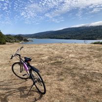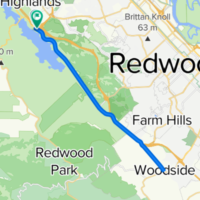
Sawyer Camp Trail, Burlingame to Sawyer Camp Trail, Burlingame
- 16.7 km
- 823 m
- 822 m
- Highlands-Baywood Park, California, United States
A cycling route starting in Highlands-Baywood Park, California, United States.
Overview
created this 14 years ago
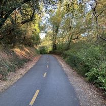
Route quality
Quiet road
7.2 km
(16 %)
Road
2.7 km
(6 %)
Paved
36.3 km
(81 %)
Asphalt
36.3 km
(81 %)
Undefined
8.5 km
(19 %)
Continue with Bikemap
You would like to ride 28 mile ride starting at 92/Canada CLONED FROM ROUTE 421519 or customize it for your own trip? Here is what you can do with this Bikemap route:
Free trial for 3 days, or one-time payment. More about Bikemap Premium.
Discover more Premium features.
Get Bikemap PremiumFrom our community
Open it in the app