

fubar app 5-29 only 0.5 rout
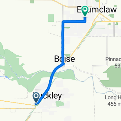
A cycling route starting in Buckley, Washington, United States of America.
Overview
About this route
- 1 h 31 min
- Duration
- 39.1 km
- Distance
- 58 m
- Ascent
- 239 m
- Descent
- 25.8 km/h
- Avg. speed
- 222 m
- Max. altitude

Route quality
Waytypes & surfaces along the route
Waytypes
Cycleway
25.1 km
(64 %)
Quiet road
8 km
(21 %)
Surfaces
Paved
27 km
(69 %)
Unpaved
0.4 km
(1 %)
Asphalt
23.9 km
(61 %)
Paved (undefined)
3.1 km
(8 %)
Continue with Bikemap
Use, edit, or download this cycling route
You would like to ride fubar app 5-29 only 0.5 rout or customize it for your own trip? Here is what you can do with this Bikemap route:
Free features
- Save this route as favorite or in collections
- Copy & plan your own version of this route
- Sync your route with Garmin or Wahoo
Premium features
Free trial for 3 days, or one-time payment. More about Bikemap Premium.
- Navigate this route on iOS & Android
- Export a GPX / KML file of this route
- Create your custom printout (try it for free)
- Download this route for offline navigation
Discover more Premium features.
Get Bikemap PremiumFrom our community
Other popular routes starting in Buckley
 229 Brierhill Blvd, Wilkeson to 206 Brierhill Blvd, Wilkeson
- Distance
- 8.1 km
- Ascent
- 135 m
- Descent
- 125 m
- Location
- Buckley, Washington, United States of America
 Foothills Trail, Enumclaw to 320 Chinook Ave, Enumclaw
- Distance
- 6.5 km
- Ascent
- 59 m
- Descent
- 53 m
- Location
- Buckley, Washington, United States of America
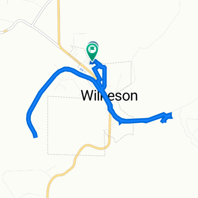
 624 Railroad Ave, Wilkeson to 624 Railroad Ave, Wilkeson
- Distance
- 8.1 km
- Ascent
- 252 m
- Descent
- 245 m
- Location
- Buckley, Washington, United States of America
 12741–12799 268th Avenue Ct E, Buckley to 15302 Washington St E, Sumner
- Distance
- 31.2 km
- Ascent
- 74 m
- Descent
- 231 m
- Location
- Buckley, Washington, United States of America
 fubar app 5-29 only 0.5 rout
- Distance
- 39.1 km
- Ascent
- 58 m
- Descent
- 239 m
- Location
- Buckley, Washington, United States of America
 anytime fitness one-way
- Distance
- 6.6 km
- Ascent
- 43 m
- Descent
- 35 m
- Location
- Buckley, Washington, United States of America
 Route to River Avenue 130, Buckley
- Distance
- 48.8 km
- Ascent
- 213 m
- Descent
- 204 m
- Location
- Buckley, Washington, United States of America
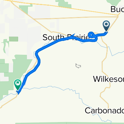 Foothills Trail, Buckley to Orting
- Distance
- 13.6 km
- Ascent
- 77 m
- Descent
- 209 m
- Location
- Buckley, Washington, United States of America
Open it in the app