výr
A cycling route starting in Olešnice, South Moravian, Czechia.
Overview
About this route
- -:--
- Duration
- 53.5 km
- Distance
- 713 m
- Ascent
- 721 m
- Descent
- ---
- Avg. speed
- ---
- Avg. speed
Route quality
Waytypes & surfaces along the route
Waytypes
Busy road
51.4 km
(96 %)
Quiet road
2.1 km
(4 %)
Undefined
-0 km
(<1 %)
Surfaces
Paved
5.1 km
(10 %)
Asphalt
5.1 km
(10 %)
Undefined
48.4 km
(90 %)
Route highlights
Points of interest along the route
Point of interest after 1.3 km
Point of interest after 53 km
Continue with Bikemap
Use, edit, or download this cycling route
You would like to ride výr or customize it for your own trip? Here is what you can do with this Bikemap route:
Free features
- Save this route as favorite or in collections
- Copy & plan your own version of this route
- Sync your route with Garmin or Wahoo
Premium features
Free trial for 3 days, or one-time payment. More about Bikemap Premium.
- Navigate this route on iOS & Android
- Export a GPX / KML file of this route
- Create your custom printout (try it for free)
- Download this route for offline navigation
Discover more Premium features.
Get Bikemap PremiumFrom our community
Other popular routes starting in Olešnice
- Jihomoravský kraj -2. etapa
- Distance
- 139.7 km
- Ascent
- 2,036 m
- Descent
- 2,182 m
- Location
- Olešnice, South Moravian, Czechia
- scheiss App 2
- Distance
- 13.7 km
- Ascent
- 297 m
- Descent
- 239 m
- Location
- Olešnice, South Moravian, Czechia
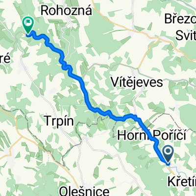
- Rovečné - Polička - Ústí nad Orlicí
- Distance
- 67.5 km
- Ascent
- 524 m
- Descent
- 721 m
- Location
- Olešnice, South Moravian, Czechia
- 1.den
- Distance
- 108.8 km
- Ascent
- 216 m
- Descent
- 623 m
- Location
- Olešnice, South Moravian, Czechia
- 1.den = Rovečné - Pasohlávky
- Distance
- 107.5 km
- Ascent
- 214 m
- Descent
- 618 m
- Location
- Olešnice, South Moravian, Czechia
- trasa
- Distance
- 41.1 km
- Ascent
- 656 m
- Descent
- 661 m
- Location
- Olešnice, South Moravian, Czechia
- EuroVelo 4 - Trasa střední Evropou - sekce Česká republika
- Distance
- 13.6 km
- Ascent
- 306 m
- Descent
- 259 m
- Location
- Olešnice, South Moravian, Czechia
- Kolem Víru
- Distance
- 44.1 km
- Ascent
- 684 m
- Descent
- 684 m
- Location
- Olešnice, South Moravian, Czechia
Open it in the app