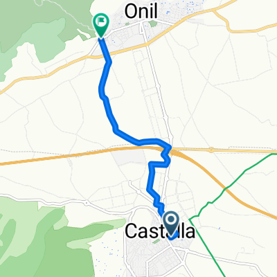
castalla-onil tuneles alcoy
A cycling route starting in Castalla, Valencia, Spain.
Overview
About this route
Visita tuneles Acoy salida desde castalla pasando por onil. almuerzo en el poli de alcoy
- -:--
- Duration
- 55.3 km
- Distance
- 625 m
- Ascent
- 625 m
- Descent
- ---
- Avg. speed
- ---
- Avg. speed
Route quality
Waytypes & surfaces along the route
Waytypes
Track
15.5 km
(28 %)
Busy road
11.5 km
(21 %)
Surfaces
Paved
7.9 km
(14 %)
Unpaved
5.9 km
(11 %)
Gravel
5.5 km
(10 %)
Paved (undefined)
4.1 km
(7 %)
Continue with Bikemap
Use, edit, or download this cycling route
You would like to ride castalla-onil tuneles alcoy or customize it for your own trip? Here is what you can do with this Bikemap route:
Free features
- Save this route as favorite or in collections
- Copy & plan your own version of this route
- Sync your route with Garmin or Wahoo
Premium features
Free trial for 3 days, or one-time payment. More about Bikemap Premium.
- Navigate this route on iOS & Android
- Export a GPX / KML file of this route
- Create your custom printout (try it for free)
- Download this route for offline navigation
Discover more Premium features.
Get Bikemap PremiumFrom our community
Other popular routes starting in Castalla
- GRAVEL Rondrit Castalla
- Distance
- 84.1 km
- Ascent
- 1,048 m
- Descent
- 1,050 m
- Location
- Castalla, Valencia, Spain
- SSA Rondrit Siërra de Mariola 65 km
- Distance
- 65.1 km
- Ascent
- 1,213 m
- Descent
- 1,136 m
- Location
- Castalla, Valencia, Spain
- Gravelrondrit Castalla 35 km
- Distance
- 35.2 km
- Ascent
- 513 m
- Descent
- 513 m
- Location
- Castalla, Valencia, Spain
- SSA / 14 Siërra de Fontanella 50 km
- Distance
- 48.3 km
- Ascent
- 661 m
- Descent
- 660 m
- Location
- Castalla, Valencia, Spain
- Castalla (Camaleón) - Torremanzanas (Veronique)
- Distance
- 45.4 km
- Ascent
- 925 m
- Descent
- 716 m
- Location
- Castalla, Valencia, Spain
- Mountainbikeroute Font Roja 45 km
- Distance
- 45.4 km
- Ascent
- 854 m
- Descent
- 856 m
- Location
- Castalla, Valencia, Spain
- Rondrit Sierra de Fontanella 95 km
- Distance
- 94.5 km
- Ascent
- 1,626 m
- Descent
- 1,619 m
- Location
- Castalla, Valencia, Spain
- SSA Rondrit Sïerra de Fontanella 50 km
- Distance
- 48.4 km
- Ascent
- 663 m
- Descent
- 661 m
- Location
- Castalla, Valencia, Spain
Open it in the app