
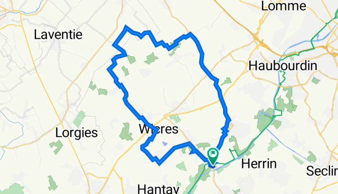
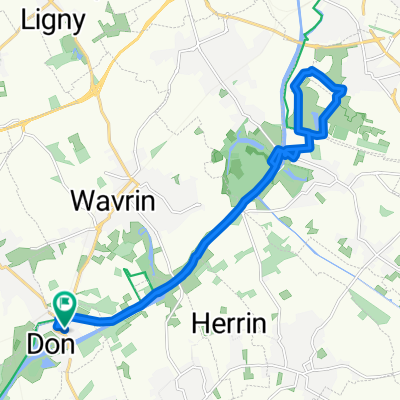
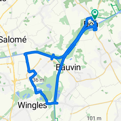
Don / Radinghem / Don
A cycling route starting in Don, Hauts-de-France, France.
Overview
About this route
Wavrin
Beaucamps Ligny
Radinghem
Martin Camp
Le Bas Maisnil
La Boutillerie
Aubers
Valmonchy
Herlies
Wicres
Marquillies
Sainghin
- -:--
- Duration
- 35.9 km
- Distance
- 55 m
- Ascent
- 56 m
- Descent
- ---
- Avg. speed
- 41 m
- Max. altitude

Route quality
Waytypes & surfaces along the route
Waytypes
Quiet road
15 km
(42 %)
Busy road
9 km
(25 %)
Surfaces
Paved
16.9 km
(47 %)
Unpaved
1 km
(3 %)
Asphalt
16.9 km
(47 %)
Gravel
1 km
(3 %)
Continue with Bikemap
Use, edit, or download this cycling route
You would like to ride Don / Radinghem / Don or customize it for your own trip? Here is what you can do with this Bikemap route:
Free features
- Save this route as favorite or in collections
- Copy & plan your own version of this route
- Sync your route with Garmin or Wahoo
Premium features
Free trial for 3 days, or one-time payment. More about Bikemap Premium.
- Navigate this route on iOS & Android
- Export a GPX / KML file of this route
- Create your custom printout (try it for free)
- Download this route for offline navigation
Discover more Premium features.
Get Bikemap PremiumFrom our community
Other popular routes starting in Don
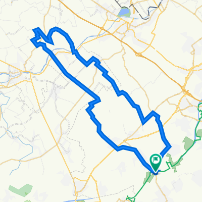
 Les Weppes (depuis Don)
- Distance
- 52.3 km
- Ascent
- 114 m
- Descent
- 115 m
- Location
- Don, Hauts-de-France, France
 Don / Radinghem / Don
- Distance
- 35.9 km
- Ascent
- 55 m
- Descent
- 56 m
- Location
- Don, Hauts-de-France, France
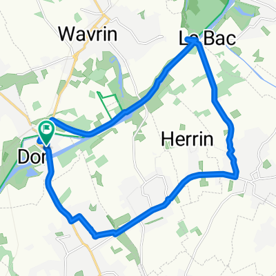 Ballade Don > Le Bac > Gondecourt > Annoeulin > Don
- Distance
- 14.9 km
- Ascent
- 8 m
- Descent
- 9 m
- Location
- Don, Hauts-de-France, France
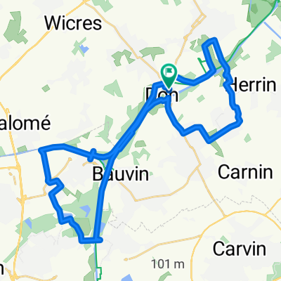
 Don Illies Wavrin Le Bac Don
- Distance
- 34.2 km
- Ascent
- 79 m
- Descent
- 82 m
- Location
- Don, Hauts-de-France, France
 Mosaïc Emmerin
- Distance
- 18.1 km
- Ascent
- 53 m
- Descent
- 55 m
- Location
- Don, Hauts-de-France, France
 Don > Wingles > Annoeulin > Herrin > Wavrin > Don
- Distance
- 31.9 km
- Ascent
- 31 m
- Descent
- 32 m
- Location
- Don, Hauts-de-France, France
 Don / Steenwerck / Don
- Distance
- 53.2 km
- Ascent
- 60 m
- Descent
- 62 m
- Location
- Don, Hauts-de-France, France
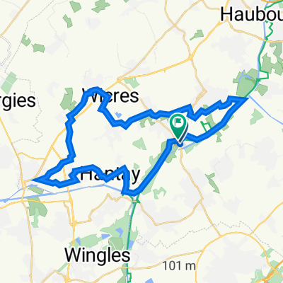
 Don > Wingles > Don
- Distance
- 20.8 km
- Ascent
- 35 m
- Descent
- 36 m
- Location
- Don, Hauts-de-France, France
Open it in the app