Rangger Koepfl
- 21.9 km
- 1,508 m
- 200 m
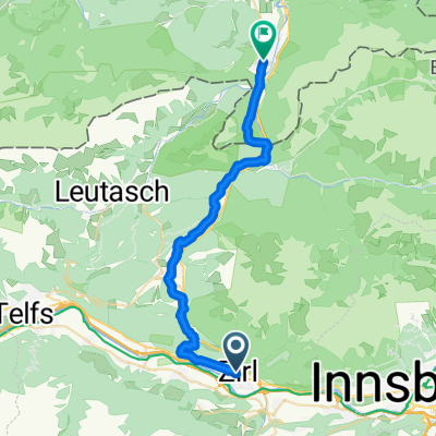
- Unterperfuss, Tyrol, Austria
A cycling route starting in Unterperfuss, Tyrol, Austria.
Overview
created this 2 years ago
Route quality
Track
24.1 km
(38 %)
Cycleway
21.6 km
(34 %)
Paved
60.9 km
(96 %)
Unpaved
1.9 km
(3 %)
Asphalt
60.9 km
(96 %)
Gravel
1.3 km
(2 %)
Continue with Bikemap
You would like to ride 6. etappe zirl - maurach or customize it for your own trip? Here is what you can do with this Bikemap route:
Free trial for 3 days, or one-time payment. More about Bikemap Premium.
Discover more Premium features.
Get Bikemap PremiumFrom our community
Open it in the app