
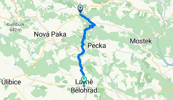
Silnice 32546, Vidochov to náměstí Karla Václava Raise 13, Lázně Bělohrad
A cycling route starting in Studenec, Liberecký kraj, Czechia.
Overview
About this route
- 41 min
- Duration
- 13.8 km
- Distance
- 35 m
- Ascent
- 257 m
- Descent
- 20.2 km/h
- Avg. speed
- 526 m
- Max. altitude

Route quality
Waytypes & surfaces along the route
Waytypes
Road
6.5 km
(47 %)
Track
1.8 km
(13 %)
Surfaces
Paved
6.8 km
(49 %)
Unpaved
2.1 km
(15 %)
Asphalt
6.8 km
(49 %)
Gravel
2.1 km
(15 %)
Undefined
5 km
(36 %)
Continue with Bikemap
Use, edit, or download this cycling route
You would like to ride Silnice 32546, Vidochov to náměstí Karla Václava Raise 13, Lázně Bělohrad or customize it for your own trip? Here is what you can do with this Bikemap route:
Free features
- Save this route as favorite or in collections
- Copy & plan your own version of this route
- Sync your route with Garmin or Wahoo
Premium features
Free trial for 3 days, or one-time payment. More about Bikemap Premium.
- Navigate this route on iOS & Android
- Export a GPX / KML file of this route
- Create your custom printout (try it for free)
- Download this route for offline navigation
Discover more Premium features.
Get Bikemap PremiumFrom our community
Other popular routes starting in Studenec
 Bukovina-Miletín-Lázně Běloves
- Distance
- 62.5 km
- Ascent
- 749 m
- Descent
- 749 m
- Location
- Studenec, Liberecký kraj, Czechia
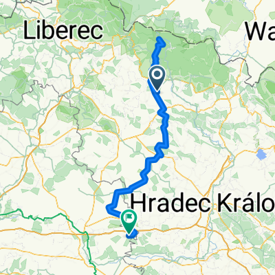
 Route nach Vrchlabí
- Distance
- 10 km
- Ascent
- 166 m
- Descent
- 167 m
- Location
- Studenec, Liberecký kraj, Czechia
 krkonosske kolecko
- Distance
- 78.8 km
- Ascent
- 609 m
- Descent
- 713 m
- Location
- Studenec, Liberecký kraj, Czechia
 2014_04_19
- Distance
- 128.5 km
- Ascent
- 1,220 m
- Descent
- 1,220 m
- Location
- Studenec, Liberecký kraj, Czechia
 Silnice 32546, Vidochov to náměstí Karla Václava Raise 13, Lázně Bělohrad
- Distance
- 13.8 km
- Ascent
- 35 m
- Descent
- 257 m
- Location
- Studenec, Liberecký kraj, Czechia
 190615 Zlaté návrší
- Distance
- 136.3 km
- Ascent
- 1,397 m
- Descent
- 1,656 m
- Location
- Studenec, Liberecký kraj, Czechia
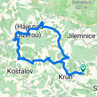 Roztoky-Kruh-Kundratice-Valdice-Bystrá-Loukov-Dolní Sytová-Peřimov-Mříčná-Kruh-Roztoky
- Distance
- 30.7 km
- Ascent
- 380 m
- Descent
- 380 m
- Location
- Studenec, Liberecký kraj, Czechia
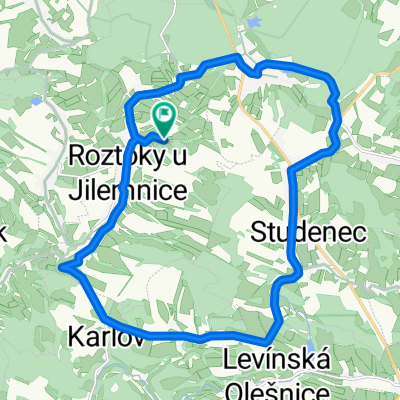 Roztoky-Martinice-křižovatka nad Zálesní Lhotou-Studenec-Žďár-Karlov-Roztoky
- Distance
- 20.6 km
- Ascent
- 229 m
- Descent
- 231 m
- Location
- Studenec, Liberecký kraj, Czechia
Open it in the app