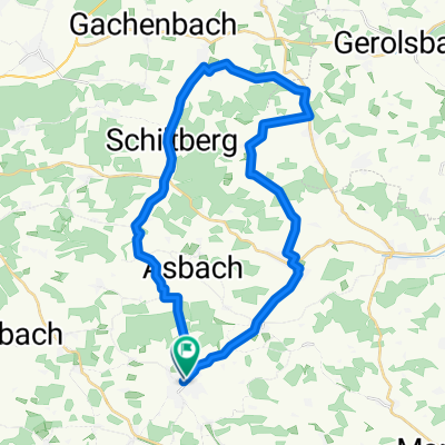
Würzburg - Rom 2001 Tag 4
- 92 km
- 364 m
- 251 m
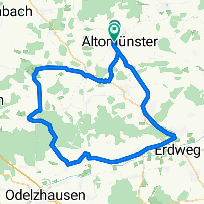
- Altomünster, Bavaria, Germany
A cycling route starting in Altomünster, Bavaria, Germany.
Overview
Altomünster
Munich
Wurmtal
Starnberger Lake
Königsdorf
created this 14 years ago
Route highlights
Der Kini is tot
Continue with Bikemap
You would like to ride Würzburg - Rom 2001 Tag 4 or customize it for your own trip? Here is what you can do with this Bikemap route:
Free trial for 3 days, or one-time payment. More about Bikemap Premium.
Discover more Premium features.
Get Bikemap PremiumFrom our community
Open it in the app