
2023 Bikepacking South France - Pyrenees
- 860.2 km
- 15,673 m
- 16,040 m
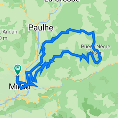
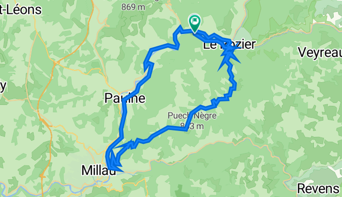
- Millau, Occitanie, France
A cycling route starting in Millau, Occitanie, France.
Overview
Route quality
Road
43.3 km
79 %
Quiet road
0.5 km
1 %
Undefined
11 km
20 %
Paved
54.2 km
(99 %)
Asphalt
54.2 km
99 %
Undefined
0.5 km
1 %
Continue with Bikemap
You would like to ride D187, Mostuéjouls nach D187, Mostuéjouls or customize it for your own trip? Here is what you can do with this Bikemap route:
Free trial for 3 days, or one-time payment. More about Bikemap Premium.
Discover more Premium features.
Get Bikemap PremiumFrom our community
Open it in the app