Plumlov - Uničov - Rýmařov - Karlov pod Pradědem
- 82.9 km
- 654 m
- 336 m
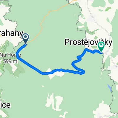
- Plumlov, Olomoucký kraj, Czechia
A cycling route starting in Plumlov, Olomoucký kraj, Czechia.
Overview
created this 2 years ago
Route quality
Road
10.4 km
(59 %)
Track
4.6 km
(26 %)
Paved
4.1 km
(23 %)
Unpaved
2.7 km
(15 %)
Asphalt
2.7 km
(15 %)
Unpaved (undefined)
2.7 km
(15 %)
Continue with Bikemap
You would like to ride Zlechov 342, Plumlov to Skalka 63, Skalka or customize it for your own trip? Here is what you can do with this Bikemap route:
Free trial for 3 days, or one-time payment. More about Bikemap Premium.
Discover more Premium features.
Get Bikemap PremiumFrom our community
Open it in the app