

Michas 3 Tälertour
A cycling route starting in Wackernheim, Rhineland-Palatinate, Germany.
Overview
About this route
- 2 h 3 min
- Duration
- 35.1 km
- Distance
- 486 m
- Ascent
- 509 m
- Descent
- 17.1 km/h
- Avg. speed
- 255 m
- Max. altitude

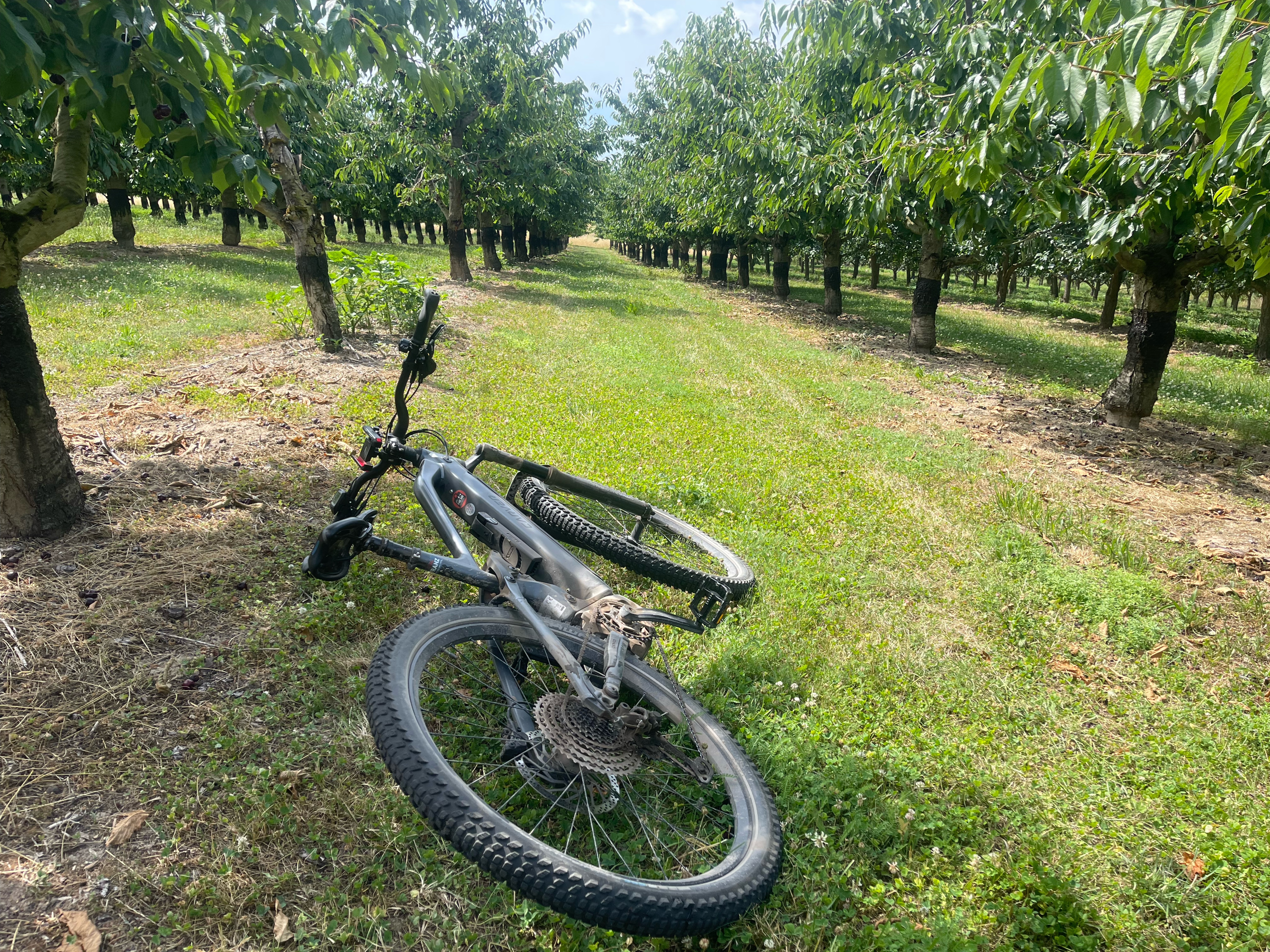
Route photos


Route quality
Waytypes & surfaces along the route
Waytypes
Track
28 km
(80 %)
Quiet road
2.5 km
(7 %)
Surfaces
Paved
27.7 km
(79 %)
Unpaved
4.9 km
(14 %)
Asphalt
15.4 km
(44 %)
Paved (undefined)
7.7 km
(22 %)
Continue with Bikemap
Use, edit, or download this cycling route
You would like to ride Michas 3 Tälertour or customize it for your own trip? Here is what you can do with this Bikemap route:
Free features
- Save this route as favorite or in collections
- Copy & plan your own version of this route
- Sync your route with Garmin or Wahoo
Premium features
Free trial for 3 days, or one-time payment. More about Bikemap Premium.
- Navigate this route on iOS & Android
- Export a GPX / KML file of this route
- Create your custom printout (try it for free)
- Download this route for offline navigation
Discover more Premium features.
Get Bikemap PremiumFrom our community
Other popular routes starting in Wackernheim
 2015 eine neue Tradition ist geboren - Jahresabschlussfahrt zur Emmerichshütte - neunte Auflage
- Distance
- 89.7 km
- Ascent
- 561 m
- Descent
- 564 m
- Location
- Wackernheim, Rhineland-Palatinate, Germany
 Extensive Sonntag Route In Wackernheim
- Distance
- 22.5 km
- Ascent
- 215 m
- Descent
- 208 m
- Location
- Wackernheim, Rhineland-Palatinate, Germany
 2014 4. Nightrider Triathlon über den Hunsrück zum Bostalsee
- Distance
- 129.7 km
- Ascent
- 1,132 m
- Descent
- 818 m
- Location
- Wackernheim, Rhineland-Palatinate, Germany
 Jubiläums-Radtour 1250 Jahre Heidesheim
- Distance
- 18.4 km
- Ascent
- 51 m
- Descent
- 48 m
- Location
- Wackernheim, Rhineland-Palatinate, Germany
 TR Atzelnest mit langer Anfahrt
- Distance
- 99.7 km
- Ascent
- 833 m
- Descent
- 781 m
- Location
- Wackernheim, Rhineland-Palatinate, Germany
 Michas 3 Tälertour
- Distance
- 35.1 km
- Ascent
- 486 m
- Descent
- 509 m
- Location
- Wackernheim, Rhineland-Palatinate, Germany
 TR Lauschhütte mit Abschlussrunde in Rheinhesse
- Distance
- 100.1 km
- Ascent
- 1,387 m
- Descent
- 1,332 m
- Location
- Wackernheim, Rhineland-Palatinate, Germany
 Am Pfingstborn, Ingelheim am Rhein nach Hochstraße, Ingelheim am Rhein
- Distance
- 10.3 km
- Ascent
- 33 m
- Descent
- 85 m
- Location
- Wackernheim, Rhineland-Palatinate, Germany
Open it in the app