Slanec - KE, cez Hollohazu
- 45.1 km
- 451 m
- 718 m
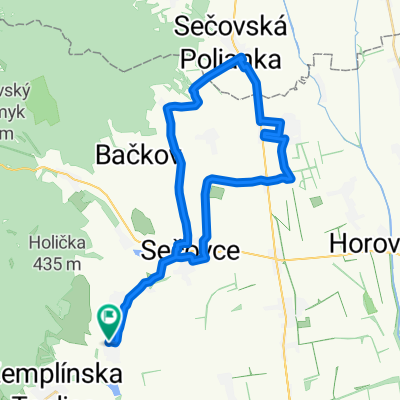
- Sečovce, Košice Region, Slovakia
A cycling route starting in Sečovce, Košice Region, Slovakia.
Overview
created this 2 years ago
Route quality
Road
25.6 km
(64 %)
Quiet road
2.4 km
(6 %)
Paved
16.4 km
(41 %)
Asphalt
16.4 km
(41 %)
Undefined
23.6 km
(59 %)
Continue with Bikemap
You would like to ride Malé Ozorovce-Zemplinska Teplica do Trebišov -Sečovce-Malé Ozorovce or customize it for your own trip? Here is what you can do with this Bikemap route:
Free trial for 3 days, or one-time payment. More about Bikemap Premium.
Discover more Premium features.
Get Bikemap PremiumFrom our community
Open it in the app