

Carrera en Chixolis...
A cycling route starting in Santiago Sacatepéquez, Sacatepéquez Department, Guatemala.
Overview
About this route
- 1 h 18 min
- Duration
- 15.2 km
- Distance
- 150 m
- Ascent
- 150 m
- Descent
- 11.7 km/h
- Avg. speed
- 2,202 m
- Max. altitude
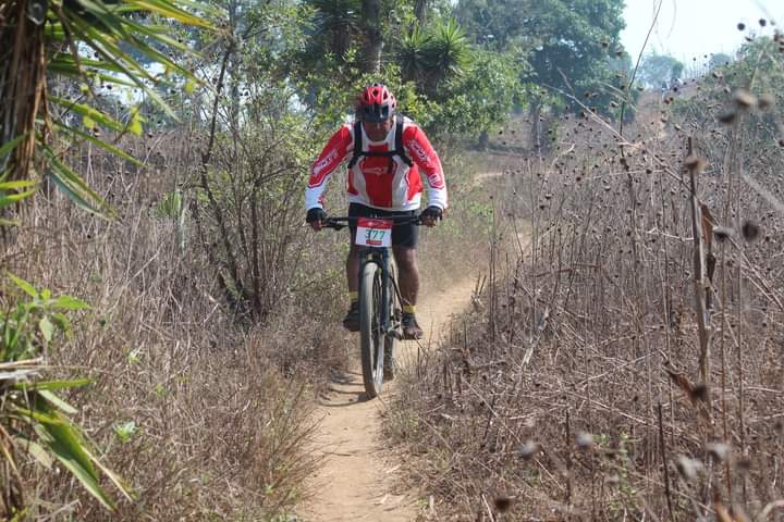
Route photos


Continue with Bikemap
Use, edit, or download this cycling route
You would like to ride Carrera en Chixolis... or customize it for your own trip? Here is what you can do with this Bikemap route:
Free features
- Save this route as favorite or in collections
- Copy & plan your own version of this route
- Sync your route with Garmin or Wahoo
Premium features
Free trial for 3 days, or one-time payment. More about Bikemap Premium.
- Navigate this route on iOS & Android
- Export a GPX / KML file of this route
- Create your custom printout (try it for free)
- Download this route for offline navigation
Discover more Premium features.
Get Bikemap PremiumFrom our community
Other popular routes starting in Santiago Sacatepéquez
 Carrera en Chixolis...
- Distance
- 15.2 km
- Ascent
- 150 m
- Descent
- 150 m
- Location
- Santiago Sacatepéquez, Sacatepéquez Department, Guatemala
 De Guatemala a CA-1, Ciudad de Guatemala
- Distance
- 41.4 km
- Ascent
- 3,623 m
- Descent
- 3,628 m
- Location
- Santiago Sacatepéquez, Sacatepéquez Department, Guatemala
 santiago
- Distance
- 243.5 km
- Ascent
- 12,406 m
- Descent
- 12,398 m
- Location
- Santiago Sacatepéquez, Sacatepéquez Department, Guatemala
 Reto Santiago 35Km MTB
- Distance
- 34.8 km
- Ascent
- 1,705 m
- Descent
- 1,688 m
- Location
- Santiago Sacatepéquez, Sacatepéquez Department, Guatemala
 primer día de trabajo
- Distance
- 18.8 km
- Ascent
- 310 m
- Descent
- 786 m
- Location
- Santiago Sacatepéquez, Sacatepéquez Department, Guatemala
Open it in the app