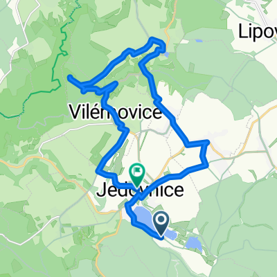
Sloupský okruh
- 50.8 km
- 534 m
- 534 m
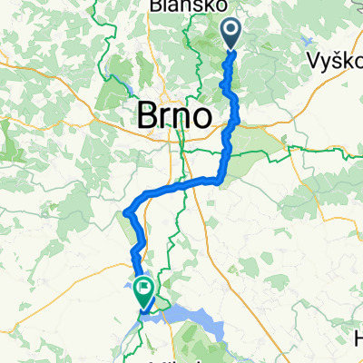
- Jedovnice, South Moravian, Czechia
A cycling route starting in Jedovnice, South Moravian, Czechia.
Overview
Moravian Highlands and Haná,
stage 2:
From the hills of Drahanská down to Vyškov, from Vyškov to Přerov across the plains of Haná
created this 14 years ago
Route quality
Road
6.4 km
(9 %)
Quiet road
5.7 km
(8 %)
Paved
20.8 km
(29 %)
Unpaved
0.7 km
(1 %)
Asphalt
20 km
(28 %)
Paved (undefined)
0.7 km
(1 %)
Route highlights
Podomí, studánka U Habrového stání
Břetislav Usnul – VEUS, U Jandovky 128/5, 682 01 VYŠKOV
Bikepro, náměstí Obránců míru 33/4, Vyškov-Město
Veloexpert, Křečkovská 338/26A, Vyškov
Cyklo Večerka, Křečkovská 26A, Vyškov
Nezamyslice, Studánka u kaple Panny Marie
Aleš Zendulka, Svatopluka Čecha 826, 75201 Kojetín
V & P CYKLOSPORT f.o., Komenského 348, 768 11 Chropyně
ŠELA SPORT, Interbrigadistů 806/2, Přerov
SAPA BIKE, Jasínkova 4, 75002 Přerov
Miko-cycles, Kratochvílova 14, 750 00 Přerov
Ubytovna Strojař (hotel Strojař), Velká Dlážka 2, 750 02 Přerov I - Město
Continue with Bikemap
You would like to ride Jedovnice - Přerov or customize it for your own trip? Here is what you can do with this Bikemap route:
Free trial for 3 days, or one-time payment. More about Bikemap Premium.
Discover more Premium features.
Get Bikemap PremiumFrom our community
Open it in the app