

aaaaa
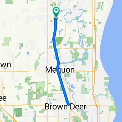
A cycling route starting in Cedarburg, Wisconsin, United States.
Overview
About this route
- -:--
- Duration
- 54.9 km
- Distance
- 317 m
- Ascent
- 291 m
- Descent
- ---
- Avg. speed
- 306 m
- Max. altitude
Route quality
Waytypes & surfaces along the route
Waytypes
Quiet road
35.1 km
(64 %)
Road
17.6 km
(32 %)
Surfaces
Paved
6.6 km
(12 %)
Asphalt
6.6 km
(12 %)
Undefined
48.3 km
(88 %)
Continue with Bikemap
Use, edit, or download this cycling route
You would like to ride aaaaa or customize it for your own trip? Here is what you can do with this Bikemap route:
Free features
- Save this route as favorite or in collections
- Copy & plan your own version of this route
- Sync your route with Garmin or Wahoo
Premium features
Free trial for 3 days, or one-time payment. More about Bikemap Premium.
- Navigate this route on iOS & Android
- Export a GPX / KML file of this route
- Create your custom printout (try it for free)
- Download this route for offline navigation
Discover more Premium features.
Get Bikemap PremiumFrom our community
Other popular routes starting in Cedarburg
 38.7 Mile Loop Route (Cedarburg to Belgium, WI)
- Distance
- 62.2 km
- Ascent
- 131 m
- Descent
- 143 m
- Location
- Cedarburg, Wisconsin, United States
 60 Mile - Lake Loop
- Distance
- 95.8 km
- Ascent
- 268 m
- Descent
- 268 m
- Location
- Cedarburg, Wisconsin, United States
 W63N627 Washington Ave, Cedarburg to 4345–4399 N Ardmore Ave, Shorewood
- Distance
- 31.1 km
- Ascent
- 860 m
- Descent
- 908 m
- Location
- Cedarburg, Wisconsin, United States
 Hanover Avenue W63 N543 B, Cedarburg to West Mequon Road 6835
- Distance
- 9.3 km
- Ascent
- 46 m
- Descent
- 43 m
- Location
- Cedarburg, Wisconsin, United States
 Cedarburg to Mequon Loop
- Distance
- 41.2 km
- Ascent
- 114 m
- Descent
- 105 m
- Location
- Cedarburg, Wisconsin, United States
 aaaaa
aaaaa- Distance
- 54.9 km
- Ascent
- 317 m
- Descent
- 291 m
- Location
- Cedarburg, Wisconsin, United States
 Bike Path South
- Distance
- 26.4 km
- Ascent
- 71 m
- Descent
- 71 m
- Location
- Cedarburg, Wisconsin, United States
 Kohler Rundfahrt
- Distance
- 74.5 km
- Ascent
- 283 m
- Descent
- 280 m
- Location
- Cedarburg, Wisconsin, United States
Open it in the app