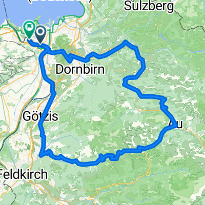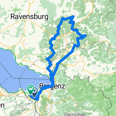
Farny 2025 Sport
- 131.9 km
- 877 m
- 877 m
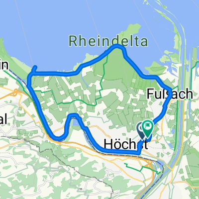
- Höchst, Vorarlberg, Austria
A cycling route starting in Höchst, Vorarlberg, Austria.
Overview
null
created this 2 years ago
Route quality
Road
54.4 km
(44 %)
Quiet road
19.8 km
(16 %)
Paved
101.4 km
(82 %)
Asphalt
100.1 km
(81 %)
Paved (undefined)
1.2 km
(1 %)
Undefined
22.3 km
(18 %)
Continue with Bikemap
You would like to ride Appenzeller 2023 lang or customize it for your own trip? Here is what you can do with this Bikemap route:
Free trial for 3 days, or one-time payment. More about Bikemap Premium.
Discover more Premium features.
Get Bikemap PremiumFrom our community
Open it in the app