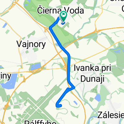
Na Pasienku 4612/142C, Čierna Voda až Stará Vajnorská 13802, Bratislava
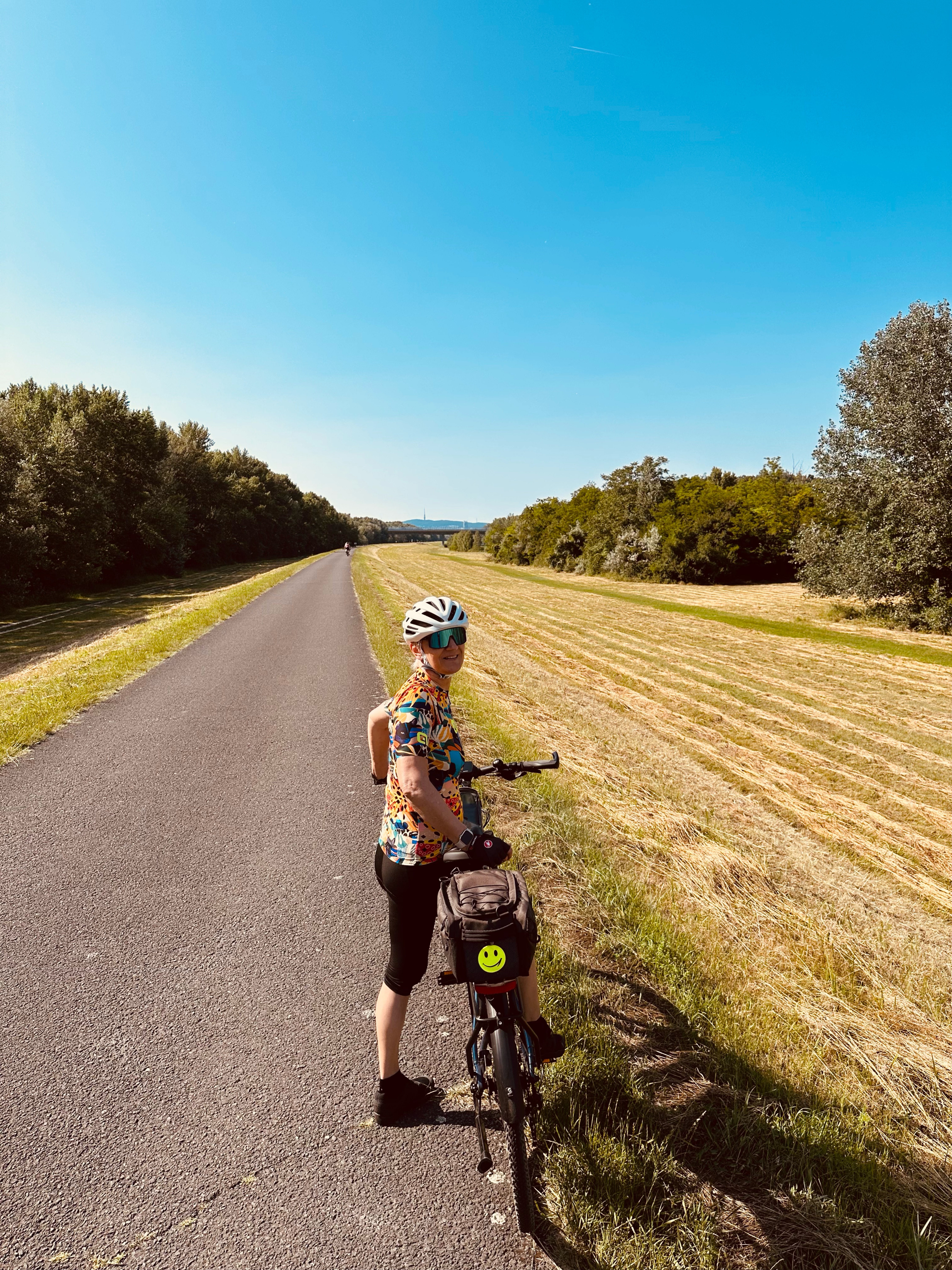
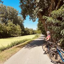
A cycling route starting in Bratislava - Vajnory, Bratislava Region, Slovakia.
Overview
About this route
- 24 min
- Duration
- 8.4 km
- Distance
- 20 m
- Ascent
- 18 m
- Descent
- 21 km/h
- Avg. speed
- 139 m
- Max. altitude
Route quality
Waytypes & surfaces along the route
Waytypes
Quiet road
2.9 km
(35 %)
Cycleway
2 km
(24 %)
Surfaces
Paved
5 km
(59 %)
Asphalt
5 km
(59 %)
Undefined
3.4 km
(41 %)
Continue with Bikemap
Use, edit, or download this cycling route
You would like to ride Na Pasienku 4612/142C, Čierna Voda až Stará Vajnorská 13802, Bratislava or customize it for your own trip? Here is what you can do with this Bikemap route:
Free features
- Save this route as favorite or in collections
- Copy & plan your own version of this route
- Sync your route with Garmin or Wahoo
Premium features
Free trial for 3 days, or one-time payment. More about Bikemap Premium.
- Navigate this route on iOS & Android
- Export a GPX / KML file of this route
- Create your custom printout (try it for free)
- Download this route for offline navigation
Discover more Premium features.
Get Bikemap PremiumFrom our community
Other popular routes starting in Bratislava - Vajnory
- Rača Biely kríž
- Distance
- 4.7 km
- Ascent
- 338 m
- Descent
- 0 m
- Location
- Bratislava - Vajnory, Bratislava Region, Slovakia
- Rača - Rača 2
- Distance
- 21.5 km
- Ascent
- 440 m
- Descent
- 441 m
- Location
- Bratislava - Vajnory, Bratislava Region, Slovakia
- Jasná
- Distance
- 311.9 km
- Ascent
- 1,773 m
- Descent
- 732 m
- Location
- Bratislava - Vajnory, Bratislava Region, Slovakia
- Pri vinohradoch 9799/269E, Bratislava až Pri starom letisku, Vajnory
- Distance
- 32.5 km
- Ascent
- 60 m
- Descent
- 84 m
- Location
- Bratislava - Vajnory, Bratislava Region, Slovakia
- Forest ride on Road Bike - Bad Surface
- Distance
- 11.9 km
- Ascent
- 276 m
- Descent
- 276 m
- Location
- Bratislava - Vajnory, Bratislava Region, Slovakia
- Rock FM Cyklomaraton 2004
- Distance
- 313.5 km
- Ascent
- 1,722 m
- Descent
- 699 m
- Location
- Bratislava - Vajnory, Bratislava Region, Slovakia
- Haimburg_Berg_01
- Distance
- 61.9 km
- Ascent
- 151 m
- Descent
- 150 m
- Location
- Bratislava - Vajnory, Bratislava Region, Slovakia
- BA-Donovaly-Jasná
- Distance
- 309.3 km
- Ascent
- 1,803 m
- Descent
- 780 m
- Location
- Bratislava - Vajnory, Bratislava Region, Slovakia
Open it in the app