Researching
- 125.5 km
- 364 m
- 284 m
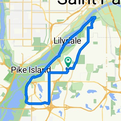
- Mendota Heights, Minnesota, United States
Start at Big River Trail off of Hwy 13 & Mendota Heights Road.
Ride takes you on grand rounds trail with scenic highlights of bluffs, Fort Snelling, Minnehaha Park, 35W memorial, Stone Arch Bridge, Target Field, and Lakes (Harriet, Calhoun, Nokomis, & Hiawatha)
Ride is pretty flaty except for U of M and 35W area.
Free trial for 3 days, or one-time payment. More about Bikemap Premium.
Discover more Premium features.
Get Bikemap PremiumOpen it in the app