Tour Trith 20 km
- 18.7 km
- 149 m
- 148 m
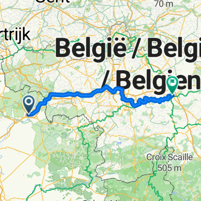
- La Sentinelle, Hauts-de-France, France
A cycling route starting in La Sentinelle, Hauts-de-France, France.
Overview
created this 2 years ago


Route quality
Path
2.7 km
(48 %)
Quiet road
2.5 km
(45 %)
Paved
3.8 km
(67 %)
Unpaved
1.2 km
(21 %)
Asphalt
2.2 km
(40 %)
Concrete
1.5 km
(27 %)
Continue with Bikemap
You would like to ride 92 ter Rue du Vert Gazon, Valenciennes à 212 Avenue Anatole France, Anzin or customize it for your own trip? Here is what you can do with this Bikemap route:
Free trial for 3 days, or one-time payment. More about Bikemap Premium.
Discover more Premium features.
Get Bikemap PremiumFrom our community
Open it in the app