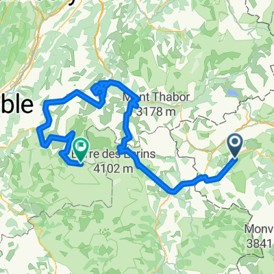
Val Troncea
A cycling route starting in Pragelato, Piedmont, Italy.
Overview
About this route
Nice route that winds through the valley.
After parking the car at Pettemouche, we followed the path on the right-hand side of the valley.
Unfortunately, the landscape is quite damaged compared to the past; there are signs of several landslides and areas where all the trees are broken.
At the junction to Troncea, we took the road towards it, overcoming a couple of ramps with a significant incline.
Upon reaching Troncea, to get to Alpe Mey, we decided not to take the road we had just climbed but instead took the one descending behind the Troncea Refuge, which then reconnects with the main path running alongside the stream.
It's a very fun single track, where we only had to push the bike in a couple of spots.
Finally, upon arriving at Alpe Mey, we took a break to take some photos and eat a sandwich.
For the return, we followed the same road but avoided the single track mentioned above.
- -:--
- Duration
- 20.9 km
- Distance
- 560 m
- Ascent
- 598 m
- Descent
- ---
- Avg. speed
- ---
- Max. altitude
Continue with Bikemap
Use, edit, or download this cycling route
You would like to ride Val Troncea or customize it for your own trip? Here is what you can do with this Bikemap route:
Free features
- Save this route as favorite or in collections
- Copy & plan your own version of this route
- Sync your route with Garmin or Wahoo
Premium features
Free trial for 3 days, or one-time payment. More about Bikemap Premium.
- Navigate this route on iOS & Android
- Export a GPX / KML file of this route
- Create your custom printout (try it for free)
- Download this route for offline navigation
Discover more Premium features.
Get Bikemap PremiumFrom our community
Other popular routes starting in Pragelato
- Pragelato-Briancon ITT
- Distance
- 43.7 km
- Ascent
- 1,129 m
- Descent
- 1,424 m
- Location
- Pragelato, Piedmont, Italy
- Pragelato - Militare - Setriere - Borgata - Plan - Pragelato
- Distance
- 32 km
- Ascent
- 1,206 m
- Descent
- 1,206 m
- Location
- Pragelato, Piedmont, Italy
- Da Strada Provinciale 23 del Colle di Sestriere 5, Pragelato-Ruà a Unnamed Road, Pragelato
- Distance
- 9.6 km
- Ascent
- 428 m
- Descent
- 25 m
- Location
- Pragelato, Piedmont, Italy
- Assietta 2
- Distance
- 76.1 km
- Ascent
- 1,960 m
- Descent
- 1,960 m
- Location
- Pragelato, Piedmont, Italy
- 5-Soucheres Basses-Bessans (Finestre-Mont Cenis)
- Distance
- 83.4 km
- Ascent
- 2,950 m
- Descent
- 2,706 m
- Location
- Pragelato, Piedmont, Italy
- Val Troncea
- Distance
- 20.9 km
- Ascent
- 560 m
- Descent
- 598 m
- Location
- Pragelato, Piedmont, Italy
- Etapa 4
- Distance
- 11.1 km
- Ascent
- 486 m
- Descent
- 78 m
- Location
- Pragelato, Piedmont, Italy
- Tour delle Alpi Olimpiche - Olympic Alps Tour
- Distance
- 113.1 km
- Ascent
- 2,343 m
- Descent
- 2,343 m
- Location
- Pragelato, Piedmont, Italy
Open it in the app