
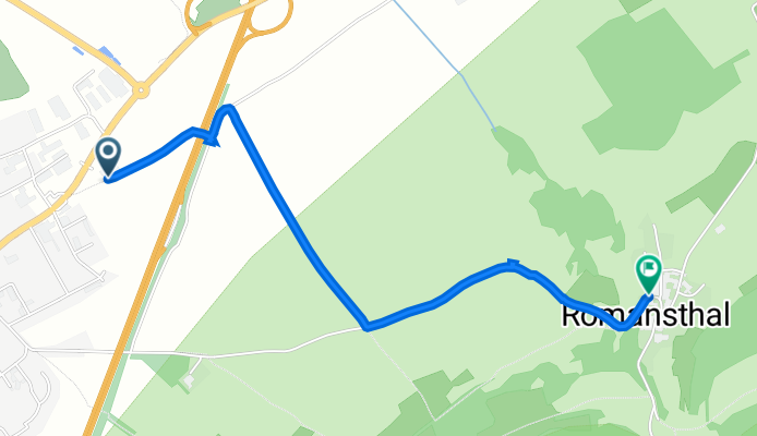
Lichtenfelser Straße 44, Bad Staffelstein nach Romansthal 1, Bad Staffelstein
A cycling route starting in Bad Staffelstein, Bavaria, Germany.
Overview
About this route
- 25 min
- Duration
- 2.5 km
- Distance
- 105 m
- Ascent
- 49 m
- Descent
- 6.1 km/h
- Avg. speed
- 379 m
- Max. altitude

Route quality
Waytypes & surfaces along the route
Waytypes
Track
1.3 km
(51 %)
Quiet road
0.9 km
(35 %)
Path
0.3 km
(14 %)
Surfaces
Paved
1.1 km
(46 %)
Unpaved
0.3 km
(14 %)
Asphalt
1.1 km
(44 %)
Loose gravel
0.3 km
(14 %)
Continue with Bikemap
Use, edit, or download this cycling route
You would like to ride Lichtenfelser Straße 44, Bad Staffelstein nach Romansthal 1, Bad Staffelstein or customize it for your own trip? Here is what you can do with this Bikemap route:
Free features
- Save this route as favorite or in collections
- Copy & plan your own version of this route
- Sync your route with Garmin or Wahoo
Premium features
Free trial for 3 days, or one-time payment. More about Bikemap Premium.
- Navigate this route on iOS & Android
- Export a GPX / KML file of this route
- Create your custom printout (try it for free)
- Download this route for offline navigation
Discover more Premium features.
Get Bikemap PremiumFrom our community
Other popular routes starting in Bad Staffelstein
 Bad St´stein-14´hlg.-Hasenweg-Karlsbank
- Distance
- 26.6 km
- Ascent
- 526 m
- Descent
- 526 m
- Location
- Bad Staffelstein, Bavaria, Germany
 RR-Staffelstein-Itzgrund-Kleukheim-St´stein
- Distance
- 53.4 km
- Ascent
- 279 m
- Descent
- 279 m
- Location
- Bad Staffelstein, Bavaria, Germany
 ADFC Tour 18.07.2010
- Distance
- 66.7 km
- Ascent
- 411 m
- Descent
- 413 m
- Location
- Bad Staffelstein, Bavaria, Germany
 MTB-Rund um Bad Staffelstein
- Distance
- 29.4 km
- Ascent
- 603 m
- Descent
- 598 m
- Location
- Bad Staffelstein, Bavaria, Germany
 Haus am Gries - Banz
- Distance
- 2.6 km
- Ascent
- 168 m
- Descent
- 18 m
- Location
- Bad Staffelstein, Bavaria, Germany
 B. St´stein-Frauendorf-Scheßlitz-Sassendorf-Z´dorf-B.St´stein
- Distance
- 55.1 km
- Ascent
- 435 m
- Descent
- 446 m
- Location
- Bad Staffelstein, Bavaria, Germany
 27.08.18_Schönbrunn nach Eltmann
- Distance
- 65.4 km
- Ascent
- 76 m
- Descent
- 99 m
- Location
- Bad Staffelstein, Bavaria, Germany
 BAD STAFFELSTEIN 1
- Distance
- 43.2 km
- Ascent
- 380 m
- Descent
- 380 m
- Location
- Bad Staffelstein, Bavaria, Germany
Open it in the app