

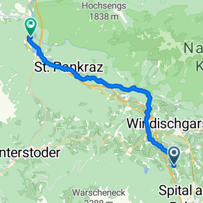
2023_06_07_ Windischgarsten-Hengspassrunde
A cycling route starting in Rossleithen, Upper Austria, Austria.
Overview
About this route
Hiked quickly from Kreuzau to Astein.
- -:--
- Duration
- 33.7 km
- Distance
- 942 m
- Ascent
- 941 m
- Descent
- ---
- Avg. speed
- 1,244 m
- Max. altitude

Route quality
Waytypes & surfaces along the route
Waytypes
Track
12.5 km
(37 %)
Quiet road
8.1 km
(24 %)
Surfaces
Paved
12.8 km
(38 %)
Unpaved
13.8 km
(41 %)
Asphalt
11.1 km
(33 %)
Gravel
8.8 km
(26 %)
Continue with Bikemap
Use, edit, or download this cycling route
You would like to ride 2023_06_07_ Windischgarsten-Hengspassrunde or customize it for your own trip? Here is what you can do with this Bikemap route:
Free features
- Save this route as favorite or in collections
- Copy & plan your own version of this route
- Sync your route with Garmin or Wahoo
Premium features
Free trial for 3 days, or one-time payment. More about Bikemap Premium.
- Navigate this route on iOS & Android
- Export a GPX / KML file of this route
- Create your custom printout (try it for free)
- Download this route for offline navigation
Discover more Premium features.
Get Bikemap PremiumFrom our community
Other popular routes starting in Rossleithen
 2023_06_07_ Windischgarsten-Hengspassrunde
- Distance
- 33.7 km
- Ascent
- 942 m
- Descent
- 941 m
- Location
- Rossleithen, Upper Austria, Austria
 Von Spital am Pyhrn bis Wels
- Distance
- 22.2 km
- Ascent
- 645 m
- Descent
- 765 m
- Location
- Rossleithen, Upper Austria, Austria
 Spital-Rading-Spital
- Distance
- 37.1 km
- Ascent
- 1,056 m
- Descent
- 1,075 m
- Location
- Rossleithen, Upper Austria, Austria
 OBK 250919 Baumschlagerreit
- Distance
- 18 km
- Ascent
- 427 m
- Descent
- 206 m
- Location
- Rossleithen, Upper Austria, Austria
 Hinterstoder - Hütterer Höss
- Distance
- 23.1 km
- Ascent
- 267 m
- Descent
- 1,086 m
- Location
- Rossleithen, Upper Austria, Austria
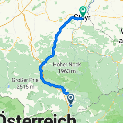 Von Spital am Pyhrn bis Steyr
- Distance
- 70.3 km
- Ascent
- 1,436 m
- Descent
- 1,803 m
- Location
- Rossleithen, Upper Austria, Austria
 Steyrtal-Radweg St. Pankraz-Leonstein-retour
- Distance
- 49 km
- Ascent
- 593 m
- Descent
- 642 m
- Location
- Rossleithen, Upper Austria, Austria
 Schinterkogelrunde
- Distance
- 11 km
- Ascent
- 395 m
- Descent
- 395 m
- Location
- Rossleithen, Upper Austria, Austria
Open it in the app