

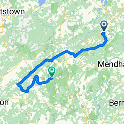
312 Quaker Church Rd, Randolph to 36 Prospect St, Dover
A cycling route starting in Randolph Township, New Jersey, United States.
Overview
About this route
- 56 min
- Duration
- 5.8 km
- Distance
- 69 m
- Ascent
- 160 m
- Descent
- 6.1 km/h
- Avg. speed
- 287 m
- Max. altitude

Route quality
Waytypes & surfaces along the route
Waytypes
Road
3 km
(52 %)
Quiet road
2.3 km
(40 %)
Continue with Bikemap
Use, edit, or download this cycling route
You would like to ride 312 Quaker Church Rd, Randolph to 36 Prospect St, Dover or customize it for your own trip? Here is what you can do with this Bikemap route:
Free features
- Save this route as favorite or in collections
- Copy & plan your own version of this route
- Sync your route with Garmin or Wahoo
Premium features
Free trial for 3 days, or one-time payment. More about Bikemap Premium.
- Navigate this route on iOS & Android
- Export a GPX / KML file of this route
- Create your custom printout (try it for free)
- Download this route for offline navigation
Discover more Premium features.
Get Bikemap PremiumFrom our community
Other popular routes starting in Randolph Township
 30–98 Marjaleen Dr, Randolph to 104 State Park Rd, Chester
- Distance
- 13.4 km
- Ascent
- 125 m
- Descent
- 208 m
- Location
- Randolph Township, New Jersey, United States
 Tom to cidermill
- Distance
- 29.3 km
- Ascent
- 261 m
- Descent
- 349 m
- Location
- Randolph Township, New Jersey, United States
 312 Quaker Church Rd, Randolph to 36 Prospect St, Dover
- Distance
- 5.8 km
- Ascent
- 69 m
- Descent
- 160 m
- Location
- Randolph Township, New Jersey, United States
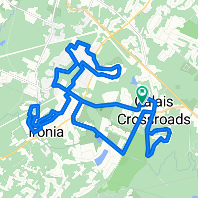 Heritage Court, Heinstein Park, Ironia, Pleasant Hill
- Distance
- 21.5 km
- Ascent
- 391 m
- Descent
- 396 m
- Location
- Randolph Township, New Jersey, United States
 Freedom Trail
- Distance
- 4.8 km
- Ascent
- 118 m
- Descent
- 122 m
- Location
- Randolph Township, New Jersey, United States
 Route to 667 Millbrook Ave, Randolph
- Distance
- 4.6 km
- Ascent
- 101 m
- Descent
- 81 m
- Location
- Randolph Township, New Jersey, United States
 126 South Rd, Mendham to 9 Revere Ct, Randolph
- Distance
- 7.4 km
- Ascent
- 83 m
- Descent
- 69 m
- Location
- Randolph Township, New Jersey, United States
 667 Millbrook Ave, Randolph to 667 Millbrook Ave, Randolph
- Distance
- 7.7 km
- Ascent
- 158 m
- Descent
- 162 m
- Location
- Randolph Township, New Jersey, United States
Open it in the app