
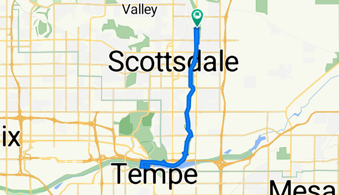
Hayden Rd & Jackrabbit Rd, Scottsdale to Hayden Rd & Jackrabbit Rd, Scottsdale
A cycling route starting in Scottsdale, Arizona, United States.
Overview
About this route
- 1 h 26 min
- Duration
- 28.1 km
- Distance
- 71 m
- Ascent
- 49 m
- Descent
- 19.6 km/h
- Avg. speed
- 390 m
- Max. altitude

Route quality
Waytypes & surfaces along the route
Waytypes
Cycleway
24.1 km
(86 %)
Pedestrian area
1.4 km
(5 %)
Surfaces
Paved
26.7 km
(95 %)
Unpaved
0.1 km
(<1 %)
Concrete
24.7 km
(88 %)
Asphalt
1.3 km
(5 %)
Continue with Bikemap
Use, edit, or download this cycling route
You would like to ride Hayden Rd & Jackrabbit Rd, Scottsdale to Hayden Rd & Jackrabbit Rd, Scottsdale or customize it for your own trip? Here is what you can do with this Bikemap route:
Free features
- Save this route as favorite or in collections
- Copy & plan your own version of this route
- Sync your route with Garmin or Wahoo
Premium features
Free trial for 3 days, or one-time payment. More about Bikemap Premium.
- Navigate this route on iOS & Android
- Export a GPX / KML file of this route
- Create your custom printout (try it for free)
- Download this route for offline navigation
Discover more Premium features.
Get Bikemap PremiumFrom our community
Other popular routes starting in Scottsdale
 Biltmore Loop
- Distance
- 25.4 km
- Ascent
- 89 m
- Descent
- 89 m
- Location
- Scottsdale, Arizona, United States
 backroads pizza run
- Distance
- 21 km
- Ascent
- 114 m
- Descent
- 112 m
- Location
- Scottsdale, Arizona, United States
 Tight Mummy Mtn Run
- Distance
- 25.6 km
- Ascent
- 168 m
- Descent
- 167 m
- Location
- Scottsdale, Arizona, United States
 scottsdale to tonto
- Distance
- 135.9 km
- Ascent
- 1,087 m
- Descent
- 773 m
- Location
- Scottsdale, Arizona, United States
 10335 E Larkspur Dr, Scottsdale to 10335 E Larkspur Dr, Scottsdale
- Distance
- 19.5 km
- Ascent
- 54 m
- Descent
- 54 m
- Location
- Scottsdale, Arizona, United States
 greenbelt/tempearts
- Distance
- 14.4 km
- Ascent
- 47 m
- Descent
- 76 m
- Location
- Scottsdale, Arizona, United States
 DBL MTN RUN
- Distance
- 28.9 km
- Ascent
- 190 m
- Descent
- 188 m
- Location
- Scottsdale, Arizona, United States
 Scottsdale to Maricopa
- Distance
- 93.6 km
- Ascent
- 72 m
- Descent
- 109 m
- Location
- Scottsdale, Arizona, United States
Open it in the app