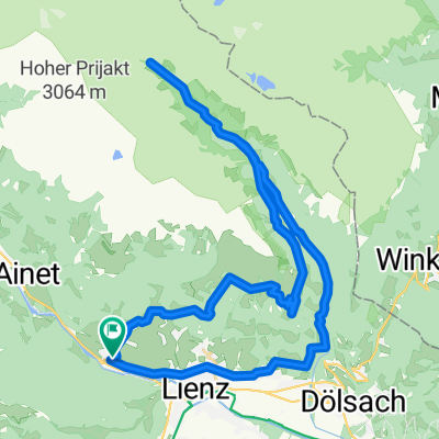


Oberlienz - Matrei - Oberlienz
- 52 km
- 704 m
- 704 m
- Oberlienz, Tyrol, Austria
A cycling route starting in Oberlienz, Tyrol, Austria.
Overview
created this 2 years ago
Route quality
Cycleway
64.5 km
(68 %)
Track
14.2 km
(15 %)
Paved
93 km
(98 %)
Asphalt
93 km
(98 %)
Undefined
1.9 km
(2 %)
Continue with Bikemap
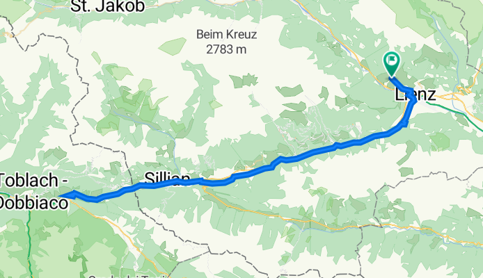
You would like to ride Oberlienz - Innichen (ITA) - Oberlienz or customize it for your own trip? Here is what you can do with this Bikemap route:
Free trial for 3 days, or one-time payment. More about Bikemap Premium.
Discover more Premium features.
Get Bikemap PremiumFrom our community
Open it in the app