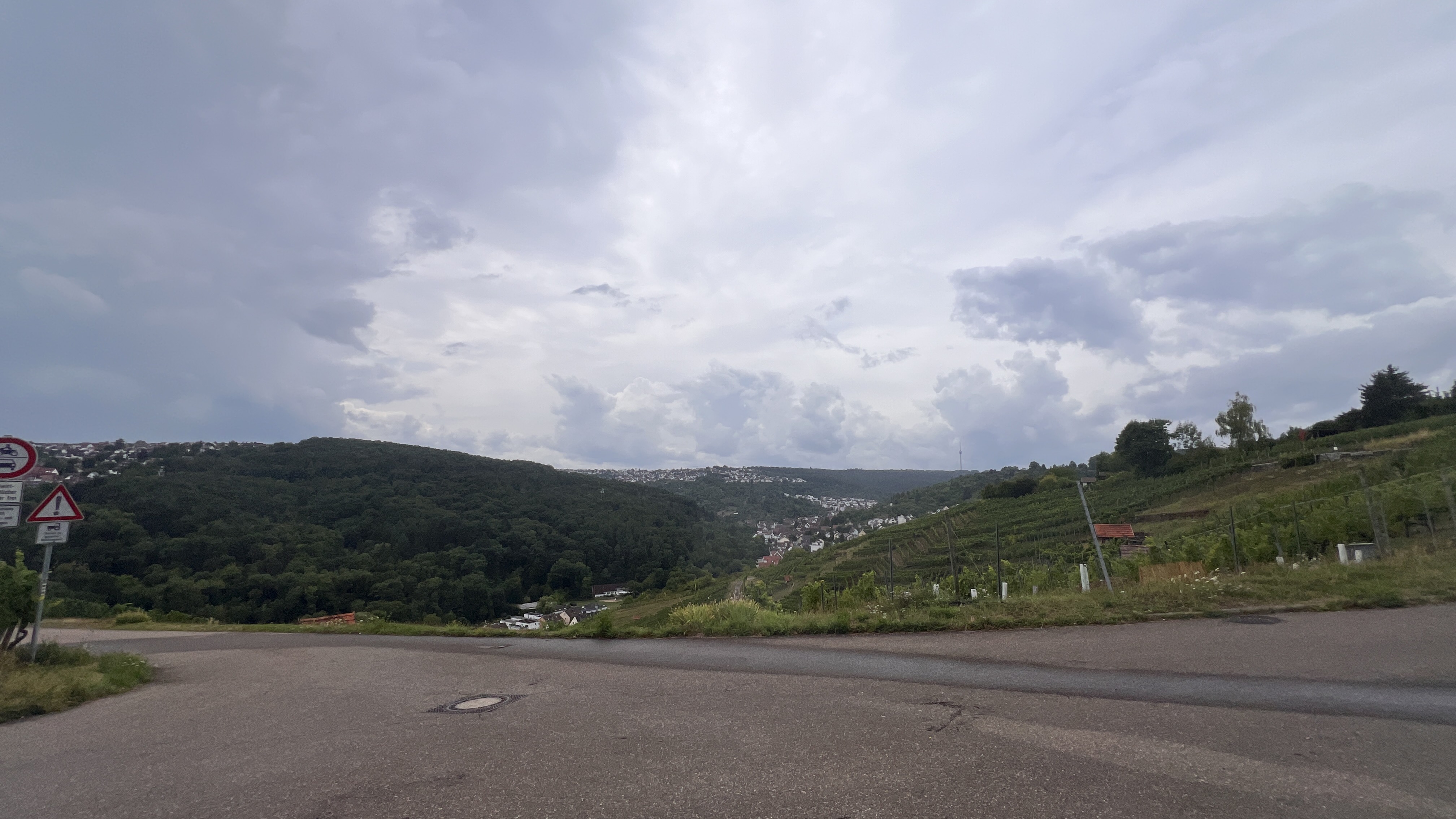
Sonntagsrunde Vaihingen Solitude Leinfelden tracked
- 57 km
- 579 m
- 579 m
- Ostfildern, Baden-Wurttemberg, Germany
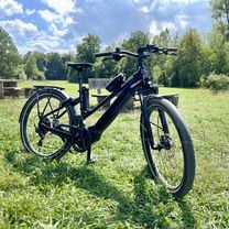
A cycling route starting in Ostfildern, Baden-Wurttemberg, Germany.
Overview
null
created this 2 years ago


Route quality
Track
103.3 km
(46 %)
Quiet road
35.9 km
(16 %)
Paved
159.5 km
(71 %)
Unpaved
44.9 km
(20 %)
Asphalt
139.3 km
(62 %)
Gravel
24.7 km
(11 %)
Continue with Bikemap
You would like to ride Randonneurs or customize it for your own trip? Here is what you can do with this Bikemap route:
Free trial for 3 days, or one-time payment. More about Bikemap Premium.
Discover more Premium features.
Get Bikemap PremiumFrom our community
Open it in the app