

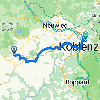
Schöner Weg zum Biken und Wandern
A cycling route starting in Mayen, Rhineland-Palatinate, Germany.
Overview
About this route
- 35 min
- Duration
- 3.4 km
- Distance
- 166 m
- Ascent
- 230 m
- Descent
- 5.9 km/h
- Avg. speed
- 278 m
- Max. altitude
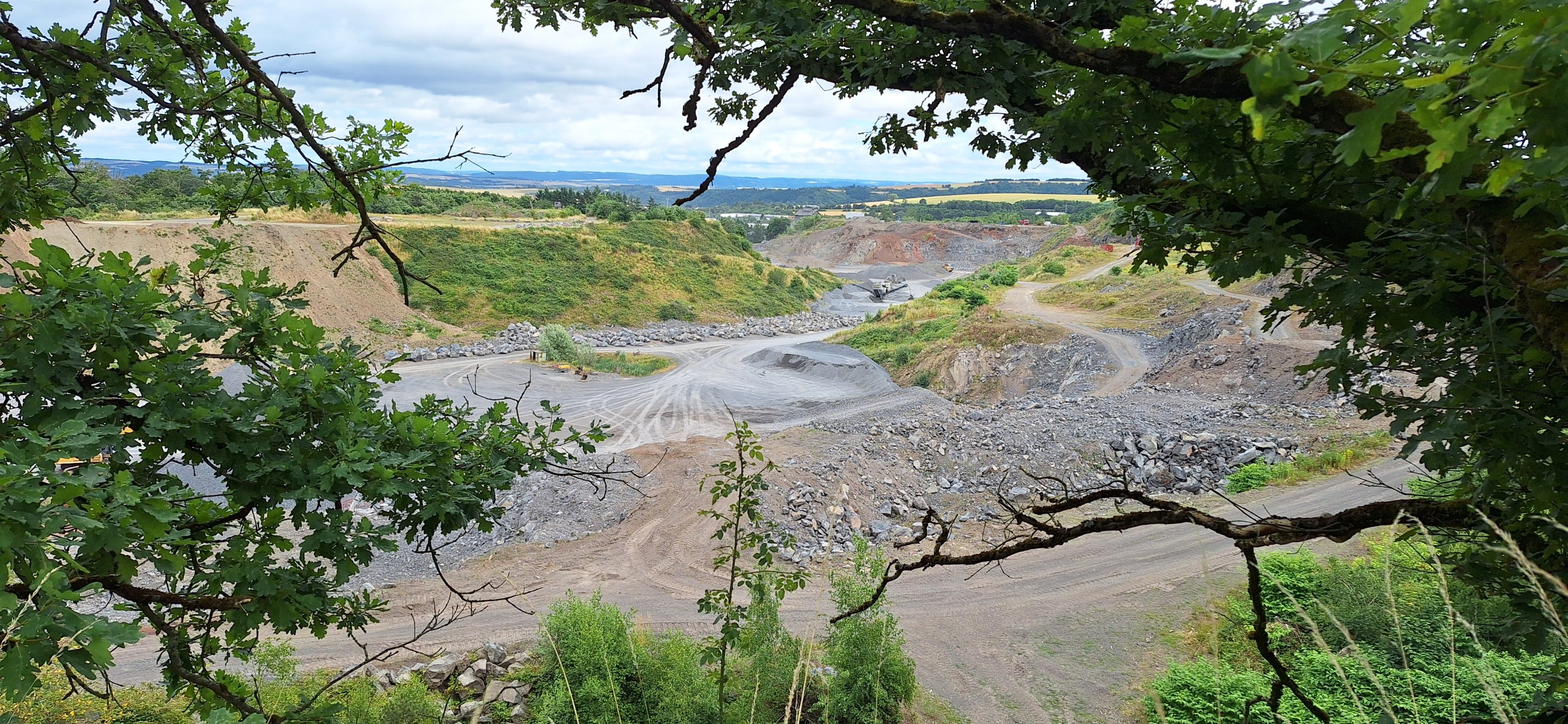
Route photos


Route quality
Waytypes & surfaces along the route
Waytypes
Track
1.3 km
(38 %)
Quiet road
1 km
(30 %)
Surfaces
Paved
0.4 km
(13 %)
Unpaved
0.8 km
(24 %)
Unpaved (undefined)
0.6 km
(18 %)
Asphalt
0.4 km
(12 %)
Continue with Bikemap
Use, edit, or download this cycling route
You would like to ride Schöner Weg zum Biken und Wandern or customize it for your own trip? Here is what you can do with this Bikemap route:
Free features
- Save this route as favorite or in collections
- Copy & plan your own version of this route
- Sync your route with Garmin or Wahoo
Premium features
Free trial for 3 days, or one-time payment. More about Bikemap Premium.
- Navigate this route on iOS & Android
- Export a GPX / KML file of this route
- Create your custom printout (try it for free)
- Download this route for offline navigation
Discover more Premium features.
Get Bikemap PremiumFrom our community
Other popular routes starting in Mayen
 Stuttgart-Eifel Teilstück Mayen-Wiesbaum
- Distance
- 49.4 km
- Ascent
- 804 m
- Descent
- 592 m
- Location
- Mayen, Rhineland-Palatinate, Germany
 Maifeld-Radweg 18km
- Distance
- 44.6 km
- Ascent
- 367 m
- Descent
- 499 m
- Location
- Mayen, Rhineland-Palatinate, Germany
 Nächtliche kleine Rundfahrten
- Distance
- 4.6 km
- Ascent
- 183 m
- Descent
- 227 m
- Location
- Mayen, Rhineland-Palatinate, Germany
 Goethestraße nach Goethestraße
- Distance
- 23.7 km
- Ascent
- 239 m
- Descent
- 302 m
- Location
- Mayen, Rhineland-Palatinate, Germany
 int. Eifellandrundfahrt 2012 - RTF des Radsportclub Eifelland Mayen e.V. - 50 km Strecke
- Distance
- 46.2 km
- Ascent
- 608 m
- Descent
- 605 m
- Location
- Mayen, Rhineland-Palatinate, Germany
 27.6.2010 Mayen Bad Godesberg
- Distance
- 81.4 km
- Ascent
- 588 m
- Descent
- 757 m
- Location
- Mayen, Rhineland-Palatinate, Germany
 Kleine Runde am Abend
- Distance
- 15.9 km
- Ascent
- 290 m
- Descent
- 325 m
- Location
- Mayen, Rhineland-Palatinate, Germany
 In der Weiersbach 3, Mayen nach In der Weiersbach 1, Mayen
- Distance
- 5.7 km
- Ascent
- 273 m
- Descent
- 338 m
- Location
- Mayen, Rhineland-Palatinate, Germany
Open it in the app