

Hauptstraße 114, Wösendorf in der Wachau nach Florianigasse 132, Wösendorf in der Wachau
A cycling route starting in Spitz, Lower Austria, Austria.
Overview
About this route
- 4 h 8 min
- Duration
- 36.4 km
- Distance
- 72 m
- Ascent
- 125 m
- Descent
- 8.8 km/h
- Avg. speed
- 257 m
- Max. altitude
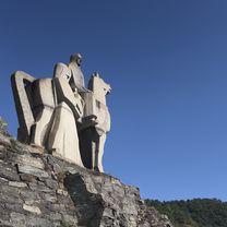
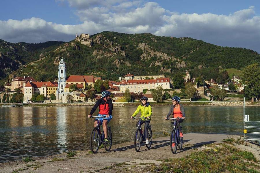
Route photos


Route quality
Waytypes & surfaces along the route
Waytypes
Track
9.8 km
(27 %)
Quiet road
8.7 km
(24 %)
Surfaces
Paved
34.2 km
(94 %)
Asphalt
33.9 km
(93 %)
Wood
0.4 km
(1 %)
Undefined
2.2 km
(6 %)
Continue with Bikemap
Use, edit, or download this cycling route
You would like to ride Hauptstraße 114, Wösendorf in der Wachau nach Florianigasse 132, Wösendorf in der Wachau or customize it for your own trip? Here is what you can do with this Bikemap route:
Free features
- Save this route as favorite or in collections
- Copy & plan your own version of this route
- Sync your route with Garmin or Wahoo
Premium features
Free trial for 3 days, or one-time payment. More about Bikemap Premium.
- Navigate this route on iOS & Android
- Export a GPX / KML file of this route
- Create your custom printout (try it for free)
- Download this route for offline navigation
Discover more Premium features.
Get Bikemap PremiumFrom our community
Other popular routes starting in Spitz
 WACHAU Route
- Distance
- 38.6 km
- Ascent
- 393 m
- Descent
- 394 m
- Location
- Spitz, Lower Austria, Austria
 Spitz, Kremstal
- Distance
- 60 km
- Ascent
- 599 m
- Descent
- 597 m
- Location
- Spitz, Lower Austria, Austria
 Spitz - Weinsteintour
- Distance
- 47 km
- Ascent
- 1,610 m
- Descent
- 1,609 m
- Location
- Spitz, Lower Austria, Austria
 Hauptstraße 114, Wösendorf in der Wachau nach Florianigasse 132, Wösendorf in der Wachau
- Distance
- 36.4 km
- Ascent
- 72 m
- Descent
- 125 m
- Location
- Spitz, Lower Austria, Austria
 Hinterhaus, Spitz an der Donau nach Eisentürgasse, Krems an der Donau
- Distance
- 21.2 km
- Ascent
- 114 m
- Descent
- 118 m
- Location
- Spitz, Lower Austria, Austria
 Wachau túra második nap
- Distance
- 19.2 km
- Ascent
- 62 m
- Descent
- 100 m
- Location
- Spitz, Lower Austria, Austria
 Um den Jauerling
- Distance
- 49.6 km
- Ascent
- 347 m
- Descent
- 345 m
- Location
- Spitz, Lower Austria, Austria
 Spitz-Linz
- Distance
- 121.9 km
- Ascent
- 241 m
- Descent
- 191 m
- Location
- Spitz, Lower Austria, Austria
Open it in the app