

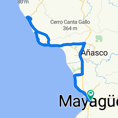
Ruta panorámica
A cycling route starting in Mayagüez, Mayagüez, Puerto Rico.
Overview
About this route
- 24 h 11 min
- Duration
- 257.3 km
- Distance
- 11,264 m
- Ascent
- 11,241 m
- Descent
- 10.6 km/h
- Avg. speed
- 1,280 m
- Max. altitude

Route quality
Waytypes & surfaces along the route
Waytypes
Road
100.4 km
(39 %)
Quiet road
25.7 km
(10 %)
Surfaces
Paved
20.6 km
(8 %)
Asphalt
20.6 km
(8 %)
Undefined
236.7 km
(92 %)
Continue with Bikemap
Use, edit, or download this cycling route
You would like to ride Ruta panorámica or customize it for your own trip? Here is what you can do with this Bikemap route:
Free features
- Save this route as favorite or in collections
- Copy & plan your own version of this route
- Split it into stages to create a multi-day tour
- Sync your route with Garmin or Wahoo
Premium features
Free trial for 3 days, or one-time payment. More about Bikemap Premium.
- Navigate this route on iOS & Android
- Export a GPX / KML file of this route
- Create your custom printout (try it for free)
- Download this route for offline navigation
Discover more Premium features.
Get Bikemap PremiumFrom our community
Other popular routes starting in Mayagüez
 mayaguez a playa santa
- Distance
- 119.3 km
- Ascent
- 377 m
- Descent
- 379 m
- Location
- Mayagüez, Mayagüez, Puerto Rico
 ruta mayaguez - rincon-mayaguez
- Distance
- 55.8 km
- Ascent
- 125 m
- Descent
- 126 m
- Location
- Mayagüez, Mayagüez, Puerto Rico
 Calle Miguel A. Santín 87, Mayagüez to Calle Cristobal Colon 57, Yabucoa
- Distance
- 258.5 km
- Ascent
- 16,144 m
- Descent
- 16,116 m
- Location
- Mayagüez, Mayagüez, Puerto Rico
 ruta las mesas..mayaguez
- Distance
- 38.5 km
- Ascent
- 492 m
- Descent
- 490 m
- Location
- Mayagüez, Mayagüez, Puerto Rico
 Ruta panorámica
- Distance
- 257.3 km
- Ascent
- 11,264 m
- Descent
- 11,241 m
- Location
- Mayagüez, Mayagüez, Puerto Rico
 vuelta
- Distance
- 51 km
- Ascent
- 587 m
- Descent
- 587 m
- Location
- Mayagüez, Mayagüez, Puerto Rico
 pa ponerte en forma
- Distance
- 66.5 km
- Ascent
- 129 m
- Descent
- 132 m
- Location
- Mayagüez, Mayagüez, Puerto Rico
 ruta miredor
- Distance
- 39.2 km
- Ascent
- 100 m
- Descent
- 104 m
- Location
- Mayagüez, Mayagüez, Puerto Rico
Open it in the app