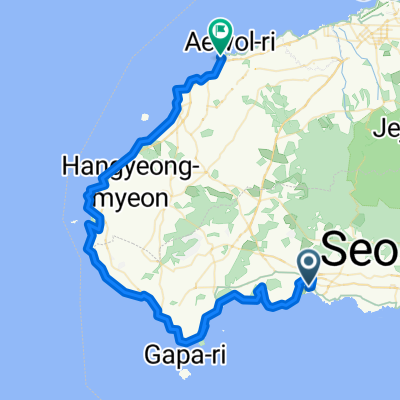
전국일주24일차-애월
- 77.9 km
- 426 m
- 484 m
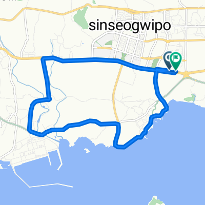
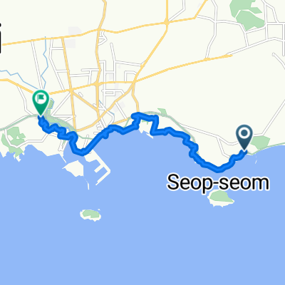
- Seogwipo, Jeju-do, South Korea
A cycling route starting in Seogwipo, Jeju-do, South Korea.
Overview
created this 2 years ago


Continue with Bikemap
You would like to ride 태흥포구-표선 왕복 or customize it for your own trip? Here is what you can do with this Bikemap route:
Free trial for 3 days, or one-time payment. More about Bikemap Premium.
Discover more Premium features.
Get Bikemap PremiumFrom our community
Open it in the app