

03 septembrie 2011 - Veloarogantza prin Voineasa
A cycling route starting in Voineasa, Vâlcea County, Romania.
Overview
About this route
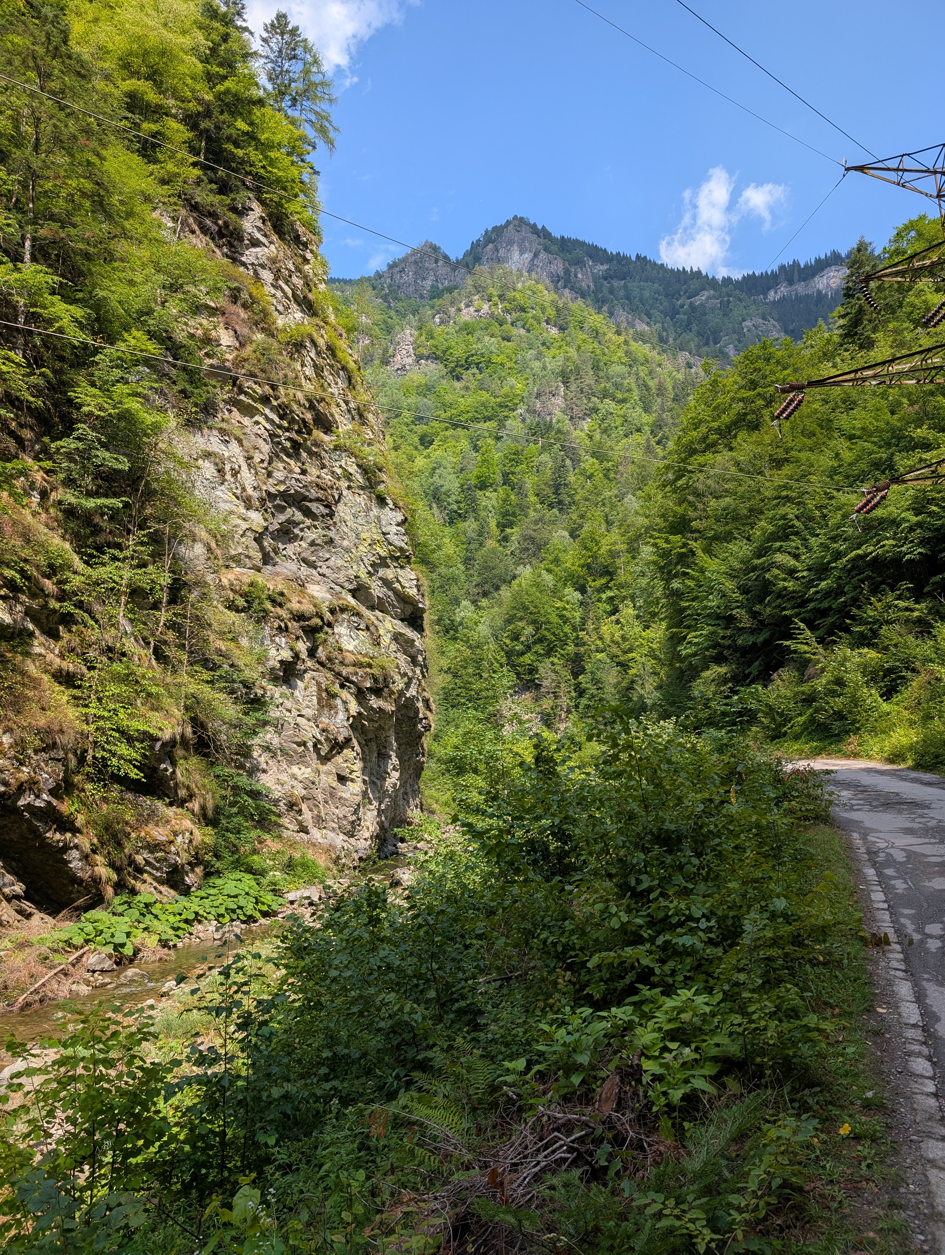
The trail is of medium difficulty, with sustained climbs; the second climb requires more effort, but guarantees excellent fitness and satisfaction upon arrival. I recommend this trail because it predominantly goes through the forest, along the mountain ridge, and due to the diversity of adventures...
- -:--
- Duration
- 44.9 km
- Distance
- 486 m
- Ascent
- 1,508 m
- Descent
- ---
- Avg. speed
- ---
- Max. altitude

Continue with Bikemap
Use, edit, or download this cycling route
You would like to ride 03 septembrie 2011 - Veloarogantza prin Voineasa or customize it for your own trip? Here is what you can do with this Bikemap route:
Free features
- Save this route as favorite or in collections
- Copy & plan your own version of this route
- Sync your route with Garmin or Wahoo
Premium features
Free trial for 3 days, or one-time payment. More about Bikemap Premium.
- Navigate this route on iOS & Android
- Export a GPX / KML file of this route
- Create your custom printout (try it for free)
- Download this route for offline navigation
Discover more Premium features.
Get Bikemap PremiumFrom our community
Other popular routes starting in Voineasa
 Lacul Galbenu-Iezerul Latoriței
- Distance
- 8.5 km
- Ascent
- 367 m
- Descent
- 115 m
- Location
- Voineasa, Vâlcea County, Romania
 Route from DJ701D
- Distance
- 15.1 km
- Ascent
- 1,267 m
- Descent
- 822 m
- Location
- Voineasa, Vâlcea County, Romania
 Circuit Parang
- Distance
- 138.6 km
- Ascent
- 2,849 m
- Descent
- 2,910 m
- Location
- Voineasa, Vâlcea County, Romania
 Valea Latoritei - Muntii Latoritei
- Distance
- 71.9 km
- Ascent
- 1,718 m
- Descent
- 1,720 m
- Location
- Voineasa, Vâlcea County, Romania
 Voineasa - Vidra Lake - Voineasa CLONED FROM ROUTE 1054637
- Distance
- 34.3 km
- Ascent
- 253 m
- Descent
- 1,205 m
- Location
- Voineasa, Vâlcea County, Romania
 vidra
vidra- Distance
- 36.7 km
- Ascent
- 391 m
- Descent
- 394 m
- Location
- Voineasa, Vâlcea County, Romania
 traversare_Costesti_ziua3
- Distance
- 68.4 km
- Ascent
- 1,061 m
- Descent
- 1,568 m
- Location
- Voineasa, Vâlcea County, Romania
 S. Steflesti-vf. Cindrel-Oasa (pics)
- Distance
- 19.8 km
- Ascent
- 589 m
- Descent
- 1,046 m
- Location
- Voineasa, Vâlcea County, Romania
Open it in the app